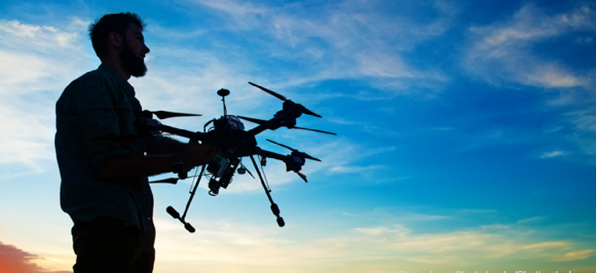
Agencies call up drones for monitoring programs

Unmanned vehicles are making it easier for agencies to quickly gather more accurate data at less expense.
As the government comes to rely on unmanned vehicles for applications ranging from photography to gas detection, representatives from a few agencies spoke about their current use cases and plans at ACT-IAC’s 2017 Internet of Things and Drones Forum.
The U.S. Geological Survey uses unmanned aerial vehicles to gather more accurate data than is available from satellite imagery for the large swaths of land the agency is responsible for monitoring. Bruce Quirk, the UAS liaison at USGS, said drones flying at 200 feet or even 400 feet can provide much higher-resolution images if researchers need them.
But USGS uses its drones for more than taking pictures. Officials have mounted a number of sensors -- thermal, multispectral, gas, geomagnetometers, hyperspectral, telemetry and radar -- on its drones.
In October 2016, USGS and the National Park Service used drones to collect high-resolution imagery so they could create a 3-D digital dataset of Devils Tower National Monument in Wyoming. The model will be used to display climbing routes, pre-plan for rescue operations and examine nesting sites commonly used by peregrine falcons.
The U.S. Agency for International Development is interested in using drones to deliver medical supplies to remote areas, the way pharmaceuticals were delivered by drone two years ago in Wise County, Va. Katie Qutub, a health systems officer and UAV champion at USAID, said drones can also detect crop loss -- often two weeks sooner than the human eye -- which can help with the insurance process.
Customs and Border Protection receives requests for air surveillance from its various offices that amount to 250,000 hours each year. But the agency can only provide 50,000 of those hours by using manned aircraft. Therefore, starting in September, CBP will launch a drone program for law enforcement and humanitarian applications.
Additionally, the drones could be used to monitor America’s borders and identify and track people crossing it, said Andrew Scharnweber, an associate chief at CBP. He added that department officials believe drones could help reduce the number of fatalities among people crossing the border.
Earlier this year, CBP released a request for proposals seeking miniature drones for use by border agents. More than three dozen proposals were received, and the agency closed the solicitation early.
NEXT STORY: Tampa revs up connected-vehicle pilot


