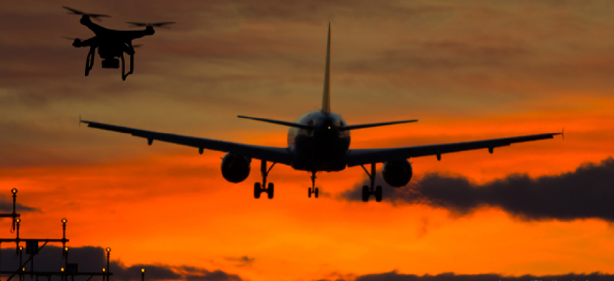
Kansas signs on for statewide drone traffic management

By partnering with AirMap, the state will make it easier for drone operators to exchange flight information with airports about conditions in the surrounding airspace and on the ground.
Kanas is standing up a statewide drone traffic management system that will enable drone operators to more easily exchange flight information with airports about conditions in the surrounding airspace and on the ground.
The state will make software from AirMap, a drone airspace management platform provider, available to all airports in the state, government agencies and some universities.
Bob Brock, the director of UAS at the Kansas Department of Transportation, said the use of AirMap won’t be mandatory, but its use will make communications easier, which will make flights safer.
Currently, drone pilots taking off close to an airport must call the airport. With AirMap, users can upload a flight plan and see current manned air traffic in their area. It also provides an easy way for airports and operators to communicate with a chat function.
This means the parties involved are ”not trying to play telephone tag trying to notify each other,” Brock said.
Because AirMap is a cloud-based service, there are no hardware requirements for the state, although it is considering standardizing display setups and other hardware to make using the tool easier.
The AirMap platform will help participating airports accept digital flight notices, communicate with drone operators and prepare for unmanned traffic management, including automating airspace notification and authorization for commercial drone flights, company officials said.
Kansas expects drone use to expand in a number of sectors. The state’s large agriculture industry plans to leverage sensor-enabled drones to analyze crops and potentially increase yield, Brock said. Public-sector uses of drones could include search and rescue and infrastructure inspection, both of which have taken off in other cities and states.
As part of the agreement, state agencies will be trained to use the AirMap platform to support their own drone operations and provide safety-critical information to drone operators, including first responder activity, locations of critical infrastructure, local landmarks and community events, AirMap said.
State colleges and universities will also receive access to the platform, including AirMap's application programming interfaces and software developer kits so students and faculty can experiment with drone applications.
The AirMap partnership is only one aspect of Kansas’ transition to a drone-ready airspace. Before the state can take full advantage of unmanned technologies, it also will need to streamline data sharing, Brock said.


