With ‘Bomb Cyclone,’ Boston Points Residents to This Important Map

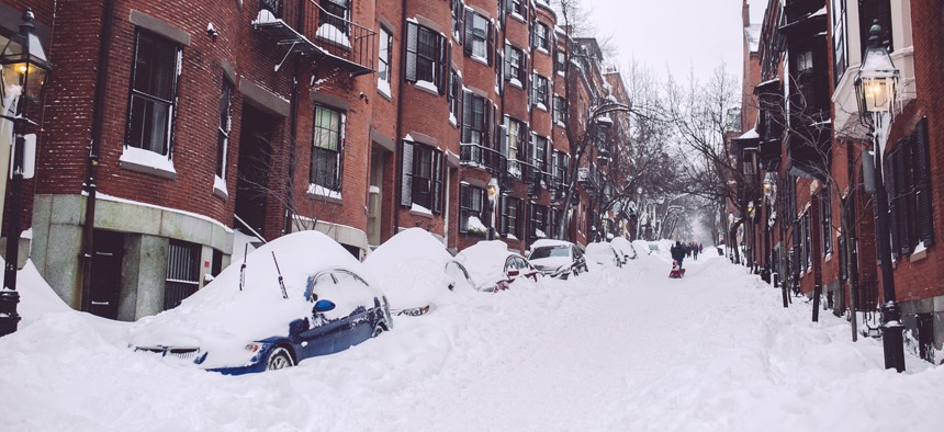
A street in Boston's Beacon Hill neighborhood after a winter storm in 2015. Shutterstock
Before citizens can help the city keep fire hydrants and catch basins clear of snow, they first need to know where they’re located.
When Boston mobilizes for a big winter storm, like the rapidly intensifying “bomb cyclone” that’s moving up the East Coast, that doesn’t just mean getting the public works and transportation departments prepped and ready to clear snow and ice from city streets.
It also necessitates mobilizing the public, too.
While New England’s largest city, like many other local governments, requires drivers to move their parked cars from major arterial streets during snow emergencies and mandates property owners clear snow, sleet and ice from adjacent sidewalks and curb ramps, it also relies on the public to keep an eye on two items of vital importance: fire hydrants and catch basins.
In the case of hydrants, the fire department can’t access them quickly if they’re buried in snow. And for catch basins, if grates are clogged with snow and debris, meltwater can get backed up, making navigating streets tricky or even worse, lead to localized flooding.
So the city needs proactive citizens to help ensure hydrants and catch basins along city streets are clear during the snow-removal process, when many municipal resources are first deployed to major roadways and other priority areas.
On Wednesday, as the “bomb cyclone” moved up the East Coast from Florida toward New England, city officials and agencies in Boston pointed residents to a map they developed to help residents find fire hydrants and catch basins that may need to be cleared.
Some city officials have even turned removing snow from fire hydrants into a community competition.
While fire hydrants can be more easy to locate since they usually stick up from sidewalks and other public rights-of-way, catch basins can be harder to spot. And that’s where the hydrant and catch basin mapping tool from the Boston Water and Sewer Commission comes in handy.
Take for instance Bolton Street, a narrow one-way thoroughfare in South Boston. During a trip to Boston in early December, Route Fifty happened to wander down Bolton Street just as it started to snow during a relatively minor storm with far less snow accumulation than what weather forecasters expect with this week's “bomb cyclone.”

But it’s easy to see how snow removal could be challenging on Bolton Street, with its narrow public right of way. It’s also easy to miss where the catch basins are located, even when they’re not covered in snow. Can you spot them in the photo above? They mostly blend into the streetscape. Residents might not even remember where they are if the street is covered. (There are two of them located just beyond the yellow house on the left.)
But the mid-block catch basins for Bolton Street, between Dorchester and F streets, are easy to spot on this map, along with the fire hydrant.

Hopefully, the residents of Bolton Street, and the rest of the city, will have an easy time digging out as the “bomb cyclone” moves out of the area.
Michael Grass is Executive Editor of Government Executive’s Route Fifty and is based in Seattle.
NEXT STORY: IARPA contracts for universal text translator


