Thinking About How to Manage L.A.’s Future Drone-Filled Skies

Los Angeles, California Michael Grass / Route Fifty
“When that airspace becomes more complicated, ‘just don’t hit anything’ isn’t going to be enough,” according to Seleta Reynolds, the general manager of the L.A. Department of Transportation.
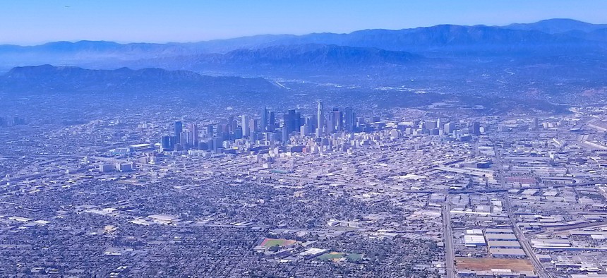
LOS ANGELES — For helicopter pilots flying above the nation’s second-largest city, there are relatively few rules for sharing the air space compared to those on the ground navigating L.A.’s streets, freeways and other terrestrial public rights of way.
But there’s an important one, said Seleta Reynolds, the general manager of the L.A. Department of Transportation: “Don’t hit anything.”
As Amazon looks toward a future with aerial package delivery and futurists envision flying taxis, the “don’t hit anything” rule becomes a more difficult challenge.
“When that airspace becomes more complicated, ‘just don’t hit anything’ isn’t going to be enough,” Reynolds said last week at “Public Safety, Disrupted,” a Route Fifty Tech Roadshow event in downtown L.A.
“There are a lot of complicated questions here,” Reynolds said, noting that the technology has evolved faster than the policies that govern it. With drone manufacturers, “they’re thinking about the technology and the device,” she said. “They aren’t thinking about how it fits into the air space.”
But local governments have no choice but to think about what comes next. City governments, at least proactive ones like Los Angeles, are starting to examine how municipal airspace will be managed in the future.
“There are a lot of questions, and not a lot of answers yet,” said Steve Hissong, acting deputy chief of the L.A. Fire Department’s training and support bureau, who was busy in recent days with the Portola fire in Benedict Canyon, sparked by a weed wacker being used for brush clearance.
The L.A. Fire Department already uses drone aircraft for wildfires, where aerial technology can be used to monitor a blaze—the YouTube video above shows infrared aerial imagery from the Portola fire—and help better predict where a fire is headed and how to get it under control.
But the department doesn’t simply send a drone skyward in the middle of an active response. It’ll ground all firefighting-related aircraft to ensure a drone being used for reconnaissance has clear and open airspace in which to operate, Hissong said.
While the department operates its unmanned aerial systems under set procedures and protocols, drone hobbyists may not be aware of rules about operating their devices in off-limits airspace.
More drones headed to our skies—whether they’re aiding an agency’s emergency response, a hobbyist’s tech curiosities or what Uber is envisioning for flying taxis—means there’s a dynamic regulatory discussion ahead around how local airspace should and shouldn’t be used.
Don’t miss the full discussion on this topic, as well as insights into how Los Angeles-area agencies are examining how technology is impacting issues ranging from citizen privacy to resiliency. Route Fifty will be restreaming last week’s “Public Safety, Disrupted” event on Wednesday.
Michael Grass is Executive Editor of Government Executive’s Route Fifty and is based in Seattle.
NEXT STORY: Los Alamos deploys drone mitigation tech


