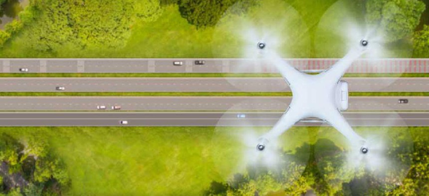
Ohio plans to integrate drones into traffic management

New research will determine how drones can give officials a better sense of traffic problems that are reported through connected vehicle technology.
Ohio may soon be using unmanned aerial systems to communicate with smart vehicles and transportation infrastructure to monitor traffic and roadway conditions.
In a three-year study to be conducted by the Ohio Department of Transportation's DriveOhio Division, which coordinates "smart mobility" initiatives and Ohio State University's College of Engineering, researchers will see how they can use drones to get a better sense of traffic problems that are reported through connected vehicle technology.
According to Fred Judson, the managing director of unmanned aircraft for DriveOhio, this research will feature both air and ground vehicles and will complement current testing of autonomous and connected vehicles along the 33 Smart Mobility Corridor -- a 35-mile stretch of U.S. 33 threaded with 432 strands of high-speed data, fiber optic line for testing smart vehicles and connected roadway infrastructure. The plan is for drones to use the state’s current fixed-location traffic camera system to monitor traffic and incident response along the corridor. The aircraft will interact with sensors and communication equipment along the corridor to feed data into the state’s Traffic Management Center.
The project will also use sensors and communication devices for UAS traffic management (UTM) to ensure the drones can safely operate alongside manned aircraft that also use the lower-altitude airspace.
Many localities as well as the federal government have been working on developing UTM systems. Some airports have begun using the Low Altitude Authorization and Notification Capability that allows drone operators to notify air traffic management of a flight. But a more mature UTM would be able to track flights throughout their duration.
“There needs to be a management system put in place to do some of the more complex operations,” Judson said, referring to beyond visual line of sight flights, package delivery and other applications that are currently prohibited under current federal regulations.
DriveOhio is looking at using passive radar technology to keep an eye on drones. Graeme Smith, research professor at Ohio State's ElectroScience Laboratory, said the technology will enable UAS detection and tracking without contributing to radio spectrum congestion.
“Since there is no pilot on board, we must build a comprehensive surveillance system composed of radar transceivers as well as robust signal processing on the back end, in real time, to track and filter all targets in the area of interest,” he said in an Ohio State release. “With a dynamic UTM solution in place, it will then be possible to make the safety case … for operations over people and beyond line of sight.”
With drones serving as eyes in the sky, officials will be able to quickly understand what is happening on roadways. Some cars are already being built with dedicated short-range communications that can transmit information such as the vehicle’s speed and location to road side units. By using the Smart Mobility Corridor's fiber connection between the RSUs and the Traffic Management Center, DOT officials could get up-to-date traffic data. And if they notice a problem like stopped traffic, they want to be able to send up a drone to get more information on the situation.
The drones would communicate with sensors along the corridor and feed data back to the Traffic Management Center, according to a project officials. Exactly how those communications will be handled will be determined during the study, Judson said.


