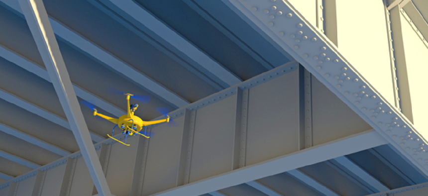
State drone operations on the rise


Connecting state and local government leaders
A new survey of state transportation departments highlights the rapid deployment of drone technologies and growing demand for a highly trained workforce required to manage them.
State transportation departments are increasingly deploying unmanned aerial systems, according to a new report from the American Association of State Highway and Transportation Officials (AASHTO), with 36 state DOTs conducting internal drone missions, up from zero three years ago.
The top five drone missions are gathering photos and video for infrastructure projects, surveying, inspecting infrastructure, responding to emergencies and natural disasters and providing public education and outreach. Other missions include the observation and management of endangered species, traffic monitoring and even mitigating avalanches.
Three state DOTs are participating the Federal Aviation Administration's Integration Pilot Program, which allows them to fly drones beyond visual line of sight, at night and over people – three operations prohibited without a special FAA waiver.
The North Carolina DOT and its private-sector partners are using drones to deliver hundreds of package deliveries to predetermined docking stations to gather data to prepare for UAS-based package delivery. In June 2018, the state DOT began testing drone delivery of medical supplies to three research hospitals in the Research Triangle area.
“Conventional highways have for 60 years been the backbone of economic development in America,” said Basil Yap, manager of the North Carolina DOT’s UAS program. “Now, state DOTs are helping to plan and build highways in the sky. We know that commercial drone delivery is coming and our research is focused on helping small businesses develop this capability.”
The Ohio Unmanned Aircraft Systems Center – part of the Department of Transportation’s DriveOhio initiative -- has partnered with the Air Force Research Laboratory to develop SkyVision, a ground-based detect-and-avoid system that is being used to track drones to enable beyond-line-of-sight operations. Drive Ohio is also testing monitoring traffic and incident response along the state's Smart Mobility Corridor -- a 35-mile stretch of U.S. 33 threaded with 432 strands of high-speed data, fiber optic line for testing smart vehicles and connected roadway infrastructure.
Kansas is using drones to inspect power lines, railroad tracks and highway pavement in rural areas. To advance the state's agriculture industry, drones are monitoring soil temperature, humidity, plant growth and irrigation levels in support of precision agriculture. Drone that track heat signatures of cattle are helping ranchers identify sick animals faster.
Drones are also helping state DOTs save money, according to 29 states. Michigan calculated it could save 74% on bridge inspections near metro areas using a drone, a pilot and a spotter. Because no lane closures are required during drone-based inspections, an additional $14,600 in user delay costs would be avoided, Michigan DOT estimated.
The AASHTO survey found that 36 state DOTs have staff dedicated to drones, including highly skilled personnel to manage drone operations. Those 36 state DOTs also reported having 279 FAA-certified drone pilots on staff or approximately eight pilots per state.
To keep up with the demand for drone pilots, 10 state DOTs have teamed up with academic organizations to train new operators, and 72% are now funding centers or programs to operate drones, the survey found.
“The survey is just one example of how state DOTs are investing in the next-generation workforce,” said Carlos Braceras, executive director of the Utah DOT and AASHTO president. “Five years ago, you’d be hard pressed to find any state DOT looking to hire a drone pilot or set up a UAS program—but now we’re doing both of those things in a big way.”
See the results of the survey here.
NEXT STORY: Don’t Be Afraid of a Cashless Future


