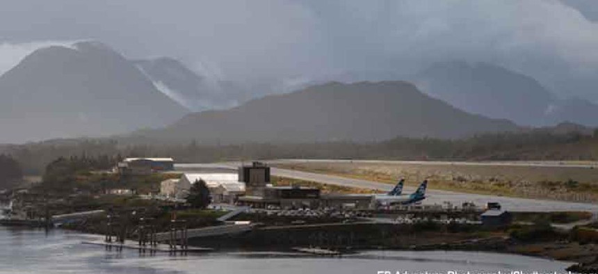
AI weather eye keeps Alaska pilots safe

The algorithm uses a web camera’s image feed to automatically determine an area’s visibility for pilots.
To help pilots in rural Alaska, who typically must rely on their own eyesight to navigate through the state’s harsh weather, a Massachusetts Institute of Technology meteorologist has developed an algorithm to determine visibility in near real time.
Called the Visibility Estimation through Image Analysis (VEIA), the algorithm uses a web camera’s image feed to automatically determine an area’s visibility, according to a Jan. 6 statement from the university. It uses feeds from the 221 web cameras that the Federal Aviation Administration installed near runways and mountain passes in Alaska to make pilots -- and their passengers -- safer.
“Some mountain passes in Alaska are like highways, especially in the summertime, with the number of people flying,” Michael Matthews, who works at MIT’s Lincoln Laboratory and created VEIA, said. In remote regions of the state, small aircraft are often the only means of transporting people and goods. If a sudden storms blow in, a pilot may not be able to see a runway, nearby aircraft or a looming mountaintop. In In 2018, the FAA reported 95 aviation accidents in Alaska, several of which happened in remote regions where poor visibility may have been a factor.
The algorithm works by looking for stationary “edges,” which to humans are landmarks such as towers or mountaintops that denote known distances to airfields. The algorithm learns to interpret how well the cameras can see each edge compared to their visibility on a clear, sunny day.
To that end, the algorithm first learns what edges look like in clear conditions by sifting through the past 10 days’ imagery and creating a composite “clear” image that it uses as a reference to compare subsequent images.
“To run a comparison, an edge-detection algorithm (called a Sobel filter) is applied to both the reference and current image,” MIT officials said. “This algorithm identifies edges that are persistent -- the horizon, buildings, mountain sides -- and … compares the overall edge strengths and generates a ratio. The ratio is converted into visibility in miles.”
The algorithm provides visibility estimates every 10 minutes that can be shared among forecasters and with pilots online in real-time.
Challenges to developing an algorithm that would work well across images from any web camera included a variety in distances and partially obstructed views from, say, a large antenna that the algorithm had to look past.
In testing VEIA’s accuracy against Alaska’s approximately 50 Automated Surface Observing Stations, which have sensors that estimate visibility hourly, the algorithm was more than 90% accurate in detecting low-visibility conditions, according the MIT officials.
The FAA plans to test VEIA this summer on an experimental website that pilots can visit to get real-time visibility estimates along with camera imagery. The agency is also considering using weather cameras elsewhere, beginning with Hawaii, which also has extreme terrain and variable weather conditions.
The Lincoln Lab is working with FAA, the National Science Foundation-sponsored NCAR Research Applications Laboratory and the National Weather Service’s Alaska Aviation Weather Unit on the larger Alaska Ceiling and Visibility Analysis product. It’s a three-year collaborative effort to build a rapidly updating , high-resolution, gridded product that provides ceiling and visibility conditions at or near instrumented and non-instrumented airfields across the state and along data-sparse routes between airfields including treacherous and heavily-trafficked mountain passes.


