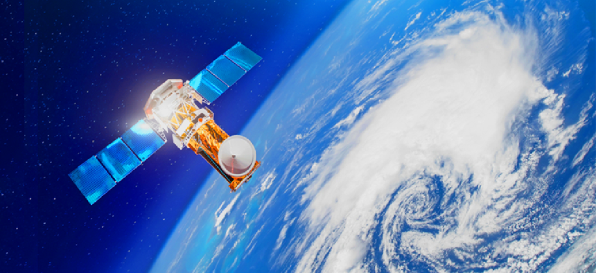
Advanced satellites illuminated by computer vision are changing how we see the world

Satellite imagery, computer vision and deep learning technology are driving applications that protect wildlife, keep people safe and enable more efficient growth.
Satellites have come a long way since Sputnik was first launched in 1957. While early satellites were designed solely for communication and broadcasting, today’s satellites are equipped with sensors and cameras. They are not only bringing television signals to remote areas and empowering GPS, but they’re also used by scientists to study the planet, and by governments to safeguard territories and address urban sprawl.
With over 2,600 satellites in orbit, including miniature nanosats or cubesats, a single site on earth can be seen multiple times a day with time-lapse technology. Scientists can see different views at different times and use this information to discern patterns and establish a chronology.
Because of all of the possibilities and world views borne of satellites, more and more companies are getting in on the action. The Wall Street Journal recently reported that more than a dozen startups are building their own nanosatellites, and that number could expand to the hundreds. The proliferation of nanosatellites is attributed to shrinking costs resulting from competition and new launch technologies along with long-distance, low-power wireless communication standards.
As with many technologies that proliferate quickly, agency buyers must beware. Not all satellites are created equal, and many of the newer ones are not equipped to truly leverage the vast datasets that bring strategic vision to the view.
High-resolution satellites, such as Maxar’s Worldview3 and Worldview4, give scientists an amount and level of detail that is humanly impossible to manage. These satellites, equipped with artificial intelligence-driven computer vision, do the heavy lifting when it comes to deriving insights from the data.
Satellites and computer vision go hand in hand
Government data scientists are applying deep learning computer vision technology to identify what is in satellite images and find patterns to provide insight to humans.
Computer vision uses machine learning data representations, as opposed to task-specific algorithms, to derive deeper and more independent insights than other forms of AI. The ability to “see” and understand more of what is happening in the images provides greater value, but it’s not a simple task.
In order for computer vision to work well, humans must spend a great deal of time identifying images. They must annotate and label huge volumes of image data to train the software to identify specific images and tell the difference, for example, between a car and a bus. While crowdsourcing is often used to accomplish this, private crowds of data specialists are more adept at labeling all of the data, objects and images within a frame with higher quality assurance so the software will be able to more accurately identify the images.
Satellite imagery, computer vision and deep learning technology are driving a number of government applications:
- Agricultural monitoring – Change detection technology can help optimize crops, by identifying pests or other diseases before they get out of control as well as issues that could impact growth.
- Natural disaster response – With volcanic eruptions, rapidly moving forest fires and other natural disasters, every minute counts. Satellite imagery provides firefighters, first responders and emergency assistance organizations the continually updated information they need to combat these disasters and know where to provide aid. It can also help these agencies assess the status of critical infrastructure following a disaster.
- Humanitarian assistance – Human rights organizations can monitor the flight of refugees in war-torn areas to know where to provide aid and how much is needed.
- Animal migration tracking – Wildlife experts and conservationists can track the movement of animals across borders during migrations and other events.
- Climate change – By tracking the changes in icebergs and ice flows, scientists can monitor the real-world effects of climate change.
- Fisheries management – Regulators can monitor marine protected areas and other areas for illegal fishing and over fishing.
- Weather forecasting – Change detection technology is particularly useful for monitoring and projecting the path of rapidly changing weather conditions, such as hurricanes. It also allows government authorities to warn, prepare and evacuate residents as needed.
- Surveillance – Satellites can be used to continually monitor sensitive sites and government operations to ensure security.
Only the most advanced satellites provide the outer-orbit’s eye view that can identify the most miniscule of objects in order to protect wildlife, keep people safe and enable more efficient growth. Thanks to the marriage of advanced satellites and computer vision, we’re able to derive insights and clarity from an abundance of objects, and the sky is no longer the limit.


