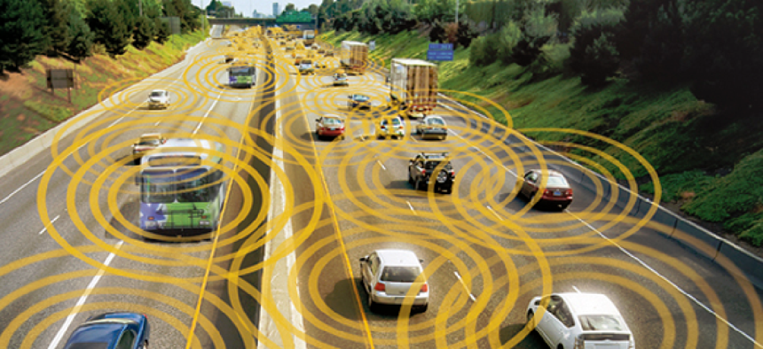
Ohio opens smart mobility corridor


Connecting state and local government leaders
The 35-mile stretch of highway will connect the cities of Dublin and Marysville, and has been called “the world’s most connected highway.”
Ohio state officials cut the ribbon on what they have dubbed “the world’s most connected highway,” connecting the cities of Dublin and Marysville with the latest in transportation infrastructure.
Called the 33 Smart Mobility Corridor, the 35-mile stretch of freeway will serve as a “one-of-a-kind vehicle testing ecosystem” within the Beta District, a smart innovation region in the Columbus, Ohio area. It is designed to improve safety by providing a variety of geographical and meteorological conditions for advanced vehicle testing.
“The tech infrastructure being deployed on the 33 Smart Mobility Corridor will help develop and advance transportation technologies that will make travel safer for everyone," Lt. Governor and Director of InnovateOhio Jon Husted said.
The project – which runs from the east end of Dublin through Marysville – is the result of multiple public- and private-sector partners, including the Ohio Department of Transportation, DriveOhio, Honda and others. The corridor uses 432 strands of available fiber, 63 roadside units, and 45 connected intersections between the two cities to test smart mobility technology. Data will be housed in three data centers in Dublin, and all the data collected from the vehicles will be available in an online repository.
Honda has tested more than 200 connected vehicles along the corridor to find ways to make the connected ecosystem safer for pedestrians and cyclists.
“Ohio’s 33 Smart Mobility Corridor enables us to conduct real-world testing of Honda’s SAFE SWARM technology, which uses vehicle-to-everything communication to help mitigate collisions, improve traffic flow, increase fuel efficiency for all road users, and prepare for higher-levels of automated driving features,” Honda Research Institute USA Chief Engineer Sue Bai said.
In 2018, DriveOhio invested in a three-year study with researchers at Ohio State University's College of Engineering to see how drones could be integrated drones into low-altitude airspace to monitor traffic and get a better sense of problems reported through connected vehicle technology.
The corridor also supports existing smart mobility programs in the two cities it connects. Marysville already has all 29 of its traffic signals connected, and the Connected Dublin program uses connected vehicle technology in a multi-lane roundabout.
The corridor brings all of that existing infrastructure together, using connected signals, pedestrian crosswalks and real-time information from the vehicles’ onboard units to develop a safer transportation ecosystem.
“Transportation is evolving, and mobility technology solutions that have and will be tested on the 33 Smart Mobility Corridor will save lives,” Ohio DOT Director Jack Marchbanks said. “The partnership framework we have established during this project is a model for future programs across the state, as we work to improve the quality of life for all Ohioans.”


