How DHS got its COPs on the same beat

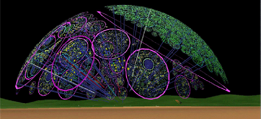
The department's Common Operating Picture provides tools for broader situational awareness, including shared mapping, analytics and data visualization.
At a glance
ORGANIZATION: U.S. Homeland Security Department
PROJECT: DHS Common Operating Picture (COP)
CHALLENGE: Integrate Common Operating Pictures from agencies across DHS and provide unified situational awareness data in the event of natural disasters and acts of terrorism.
SOLUTION: A public-and private cloud-based COP infrastructure that meshes data feeds from partners and displays base maps, imagery services, street views, and geo-analytics.
The Homeland Security Department has plenty of officers and agents on any particular investigation, but until recently agents on one team often didn’t know what agents on another were doing.
More than 20 DHS agencies have created common operating pictures (COPS) — situational awareness systems that typically include mapping, analytics and data visualization tools that draw from information supplied by multiple intelligence sources. But the systems were stovepiped and couldn’t exchange information.
“So much for being ‘common,’" said DHS CIO Richard Spires, speaking earlier this year at a meeting of the Northern Virginia chapter of AFCEA. “We have all these COPS but no integration … we do a lot of screening and we have a lot of different systems.”
A unified DHS COP is mandated by law. Under the Homeland Security Act, the National Operations Center is responsible for providing situational awareness for the federal government and for state, local and tribal governments in the event of natural- or man-made disasters or acts of terrorism. The purpose of the law was to ensure that agencies across government had a way of ensuring that critical terrorism and disaster-related information reached decision makers.
To meet this goal, DHS assembled a team of experts from the NOC and IT specialists from the DHS Office of the Chief Information Officer to integrate COPS, maximizing the use of the existing DHS IT infrastructure. Rolled out last May, the unified COP has been used to support operations including wild fires, floods, severe weather and national security special events.
(Pictured from left: Daniel Cotter, Russell Dash, Scott Brambaugh, Richard Spires, Donald Triner, Richard Chavez, Karl Gramlick, David Alexander, Bill Finter.)
The benefits of the system include real-time situational awareness, alerts, advanced analytics, data visualization and links to DHS’ geospatial information systems. The DHS COP combines both public and private cloud services: Base map, incident- imagery services, street views and geocoding are provided via a public cloud infrastructure while secure but unclassified data is managed by a DHS private cloud.
Integrating distinct COPS was facilitated by the National Information Exchange Model (NIEM), a multi-agency information- sharing protocol that uses Extensible Markup Language to standardize data formats and vocabularies to enable data exchange. Talking about the COP, Spires termed the NIEM one of the best “small investments” the government has ever made.
The DHS COP is now being used on a daily basis, officials said. During the Federal Emergency Management Agency’s National Level Exercise preparedness event last June, the DHS was the single resource used by all participants for situational awareness and data exchange.


