Disaster response simulation shows how to share cloud-based geospatial data

NGA-backed consortium demonstrates show how hybrid, geospatial clouds can be assembled for disaster response.
A government/industry consortium has demonstrated how to rapidly assemble and manage a cloud-based disaster response infrastructure that will let emergency responders share geospatial and other critical data despite having disparate IT systems.
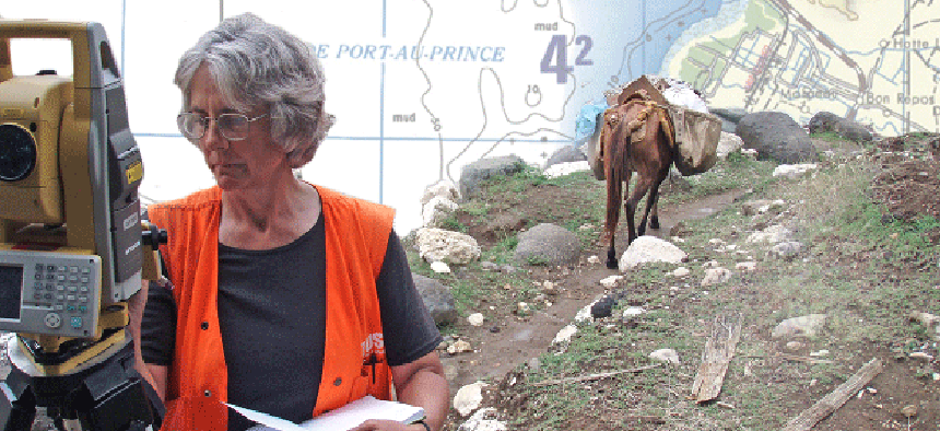
On Sept. 12, the Network Centric Operations Industry Consortium led a real-time demonstration for the National Geospatial-Intelligence Agency in McLean, Va., where 150 government and business leaders watched a disaster-response simulation based on the 2010 Haiti earthquake.
In an effort to improve communication in disaster response, NGA wanted to see how industry can deliver open standards-based geospatial data to first responders via multiple, interoperable cloud infrastructures that would let NGA share nonclassified information with mission partners but protect access to its sensitive information, said David Bottom, director of NGA Information Technology Services.
Amazon Web Services was the core operational cloud platform in the demonstration. Geo-servers and geospatial data and data translations capabilities were provided by the Google cloud. Savvis provided cloud-based backup and business continuity services. Aerospace Corp. provided an OpenStack cloud offering identity access management and security. NJVC, which built the hybrid cloud infrastructure, managed the clouds via its Cloudcuity brokerage services.
NGA wanted the OpenStack cloud to ensure all geospatial data would be stored in the object-based environment and consumed as a standard Open Geospatial Consortium service, said Todd Myers, NGA’s lead global computer architect.
One of the goals of the demonstration was to show how first responders “are able to get access to data without establishing authentication to separate data repositories,” Myers said during an interview at the event.
Aerospace Corp. modified OpenStack’s identity and object storage services to work with virtual organization management. VOM maps users’ identities to roles such as first responders, medical staff or structural engineers. Each group’s data is stored in data containers. Coalition members then can control what geospatial information they want to share with other partners during an international relief effort. VOM lets coalition members log in to a local cloud, access other clouds or resources they have authorization for but still maintain control over their own content and resources.
NCOIC members also served as “actors” in the simulation, depicting search-and-rescue teams and civil engineers.
In one scenario, Boeing demonstrated how a pool of geo-servers, using translators, can collect and share disparate geospatial services as a common resource library through a geospatial interoperability dashboard. Portraying a search-and-rescue team from Poland, Boeing demonstrated how the team could be added to the resource library via integration with Raytheon’s R3 Decision Support tool.
As the team heads to a bridge, Boeing’s Operational Impact Awareness application receives an RSS feed from Telos Secure Information eXchange (T-6) that the bridge has been destroyed. Upon arrival the team discovers there are casualties. A medical team is dispatched, receiving the task and routing via the OIA application or some other first responder app while the rescue squad is rerouted around the bridge.
For some observers, the demonstration seemed to focus more on the federation of cloud technologies rather than the interoperability of data. Interoperability between databases is the next step, said Brand Niemann, a data scientist who worked on disaster response for years at the Environmental Protection Agency. “The lesson we learned was you had to analyze the heck out of the data to understand what really happened during a disaster and how you could do better in the future,” he said.
“We really need to get to the federation of the actual data,” Niemann said. There are a lot of centers of excellence for disaster response around the world such as the Homeland Security Department, Red Cross and the United Nations. The challenge is to bring together all of those data sources – at least the ones that are open and available – and then apply the cloud technologies.
Semantic interoperability is important, said Kevin Jackson, NJVC vice president and general manager of cloud services. The geo-server pooling aspect of the demonstration focused on that, showing users how “to leverage multiple descriptions of the same thing and getting a common understanding,” he said. NCOIC has only scratched the surface of interoperability, the organization officials said, acknowledging that more territory needed to be explored.
Lessons learned from the demo will be presented as a report to NGA in October. Based on the demonstration, a new open process known as NCOIC Rapid Response Capability (NRRC) will be made available to international, federal, state and local governments as well as nongovernmental organizations and businesses that need to build a federated cloud environment. NRRC will include checklists, rules and patterns designed to help these organizations quickly achieve interoperability.


