NNSA tests cloud-based radiation data collection network


Connecting state and local government leaders
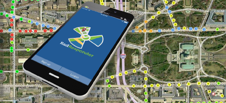
The National Nuclear Security Administration recently tested the RadResponder network, which provides data collection and sharing tools for federal, state, local, tribal and territorial organizations responding to radiological emergencies.
The National Nuclear Security Administration (NNSA) recently participated in a cloud-based radiation data collection drill. Using RadResponder, a radiological emergency response tool developed by the Federal Emergency Management Agency, participants from all levels of government uploaded and shared data to evaluate the tool in a realistic stress test.
The exercise, conducted by the Conference of Radiation Control Program Directors, involved more than 200 participants from 38 states. More than 21,000 environmental radiation measurements and 200 field samples were taken, and 132 observations were collected, recorded and validated during this one-day drill. During the drill, measurements were collected using handheld meters, stationary monitoring systems, and soil and water samples.
Based on lessons learned from the Fukushima Daiichi reactor emergency, the RadResponder network is a coordinated effort across all levels of government to respond to a catastrophic incident.
The RadResponder tool itself is for data logging, management and sharing –not for radiation detection. It is designed to collect data from environmental radiation monitoring, such as field surveys, fixed point sensor arrays and physical media samples. The cloud-based database integrates with existing systems and equipment and securely connects to federal and regional partners for sharing data.
The RadResponder network is also directly wired to the Federal Radiological Monitoring and Assessment Center, an interagency organization for coordinating and managing all federal radiological environmental monitoring and assessment during a nuclear or radiological incident. The National Atmospheric Release Advisory Center at Lawrence Livermore National Laboratory, which maps the probable spread of hazardous material released into the atmosphere, is also linked.
Emergency responders from federal and state, local, tribal, and territorial response teams can access the RadResponder network for free via wireless devices to manage, organize, analyze and map radiation data.
Data is accessible through a flexible, free set toolset, including wireless APIs and a "one-stop-shop" website that can be used on-site by local responders ahead of the arrival of federal officials. The website also can provide a central source of photos of the incident, maps, messaging capabilities and other tools, according to an FCW article.
A variety of agencies routinely collect data on radiation to monitor environmental conditions that may affect human health. Information from these agencies can be automatically uploaded to RadResponder, according to the Radiation Data Transfer Integrated Project Team (IPT) – of the Environmental Exchange Network, which is responsible for developing the network.
The IPT is defining the requirements, workflow, data elements, XML schemas, web services and other resources necessary for the RadResponder network. Requirements are based on existing standards wherever possible, including the Environmental Sampling Analysis and Results data standard and components of the existing New Jersey Radiation data exchange (XML schemas, web service definitions).
As of April of this year there were 1,568 users representing 471 federal, state, local, academic, and industry organizations nationwide in the network.


