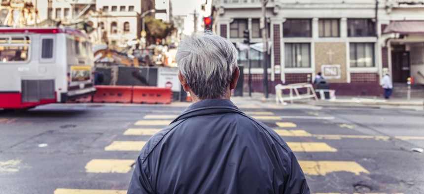
San Francisco’s ‘Secret Weapon’ to Keep Pedestrians Safe

Dennis Diatel / Shutterstock.com
A database management system is an indispensable tool for planners looking to eliminate traffic deaths in the city.
In the fight to prevent cars and other vehicles from hitting pedestrians on city streets, San Francisco has a “secret weapon.”
At least in the view of one analyst at the city’s transportation agency.
What is this indispensable tool? It’s a database management system that aggregates over 200 variables related to transportation and health issues, which are pulled from across city departments and other agencies. It has been an important part of Vision Zero SF, a policy the city and county of San Francisco adopted last year that aims to eliminate traffic deaths on area streets by 2024.
“It is a secret weapon, we cannot recommend it enough,” said Chava Kronenberg, a San Francisco Municipal Transportation Agency analyst, during a webinar session on Tuesday.
“Get all your information about all the things that influence whether a pedestrian is killed or not into a single place,” she said.
The Pedestrian and Bicycle Information Center hosted the webinar, which also featured presenters from Florida, and the Dallas-Fort Worth region of Texas, who spoke about pedestrian safety issues. Funded by the Federal Highway Administration, the center is housed at the University of North Carolina Highway Safety Research Center.
Known as TransBASE, San Francisco’s database management system includes spatially referenced variables, meaning that it’s possible to analyze data geographically across the city.

The San Francisco Department of Public Health’s Program on Health, Equity and Sustainability developed TransBASE. It includes not only data from the city’s police department about vehicle-pedestrian collisions, but also information such as the location of intersections controlled by traffic signals, posted speed limits on specific city streets, land-zoning designations and demographic figures from the U.S. Census Bureau.
Displaying a map that showed pedestrian collisions that occurred in San Francisco between 2006 and 2011, Kronenberg acknowledged that interpreting so much information, and figuring out a way to use it to guide decisions, can be challenging.
The city’s public health department and transportation planners, she said, had a recommendation: “Shrinking that data. Make it look like something we can attack.”
So the city zeroed in on a number of high-injury corridors, which amounted to 6 percent of San Francisco’s street miles, but accounted for 60 percent of pedestrian injuries and fatalities.
“If we look at every street in the city, we would never achieve our goal, but if we only look at 6 percent, we know we can at least address 60 percent of our injuries and fatalities,” Kronenberg said. “From a fiscally constrained environment, that’s a reality. We need to focus our efforts.”
The next step involved planners and engineers coming up with specific recommendations for improving safety in the high-injury corridors in a cost-effective way.
Using TransBASE they looked for patterns in traffic collisions. For instance, crashes that resulted from left turns at intersections with traffic signals. Heat maps showed where within the high-injury corridors certain types of incidents were most prevalent.
Armed with this information, city staffers considered “countermeasures” to address these types of specific problems in the areas where they were occurring. For the left-turn scenario these might include left-turn prohibitions or, perhaps, slowing traffic speeds.
Going forward, the city will be looking to “ground truth” the effectiveness of the countermeasures. “This isn’t just a planning exercise in a vacuum,” Kronenberg said.
In addition to highlighting the key part data has had so far in Vision Zero SF, Kronenberg also noted the important role played by a chorus of transportation advocacy and community groups.
“This sort of vocal participation,” she said, “has brought a lot of attention.”
Early in her presentation on Tuesday, she also mentioned that one of the people who died last year in a traffic incident was a colleague at City Hall.
“These deaths are real, they’re people, and they’re our friends, and they’re our neighbors and they’re our brothers and our sisters,” Kronenberg said. “We’re here to end these fatalities.”
NEXT STORY: DISA approves 23 cloud providers


