How Understanding ‘Travel Horizon’ Impacts on Personal Spending Will Improve Urban Planning

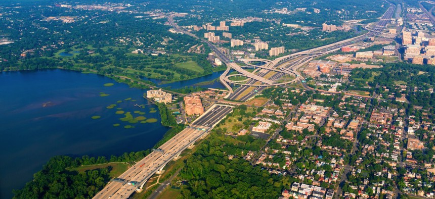
Washington D.C. holbox / Shutterstock.com

Connecting state and local government leaders
A new public-private data partnership aims to help cities close gaps in their transportation networks, reaching underserved communities while bringing in tax dollars.
WASHINGTON — When the Las Vegas area saw unprecedented population growth right before the Great Recession, knowing the most easy-to-reach spot in Clark County to build the next elementary school would’ve been useful.
Similarly, given the startup boom in Austin, Texas, the local government there would benefit from approving the construction of higher-end homes within a reasonable commute of areas with higher concentrations of technology jobs.
Visualizing just how accessible entertainment, businesses and government services are to residents along urban transportation networks is the goal of a new public-private data partnership between Urban Insights and MasterCard.
“If you know people's travel preferences, you can create a geometric shape around them wanting to be 10 minutes from a daycare, three minutes from a good French restaurant and no more than 20 minutes from a dry cleaner—mirroring their ability to get to those types of locations,” Dan Collins, vice president and general manager of Urban Insights, told Route Fifty on Tuesday at a Smart Cities Week event in the nation’s capital. “You need to know what’s inside their ‘travel horizon.’”
A Washington, D.C.-based subsidiary of Cubic Transportation Systems specializing in data analytics, Urban Insights realized that MasterCard’s massive dataset—derived from the 43 billion financial transactions the technology company processes annually—offered the ability to layer merchant data onto their prototype platform, now called the Urbanomics Mobility Project.
Determined to shake its image as only a credit card company—it’s not—Purchase, New York-based MasterCard began a concerted effort to work with all levels of government four to five years ago.
“With the number of people using mass transit to move around cities, there’s a tremendous need to make those systems more efficient and to improve quality of life,” Ed Brandt, government service and solutions managing director for MasterCard, said in an interview. “We’d like to make it so these systems can handle payments better and people don’t queue up in long lines.”
An agreement between the two companies was signed early this year and, while MasterCard’s anonymous spending data has yet to be added to the platform, the system has already demonstrated the limitations of current public transit networks in allowing residents to access certain parts of their metro area at particular times.
Transit routes are mapped and the most accessible parts of town are highlighted based on parameters users can alter, like time of day or week and travel distance, to reveal reachable destinations populated with MasterCard Places data.

Cities can identify communities underserved by gaps in public transit networks using the platform, and the eventual layering of labor and spending data will begin to paint a picture of how much it’s costing them.
That 7-Eleven a city just approved zoning for might be inaccessible to a large segment of citizens—a loss of sales tax dollars that adds up if other businesses in the area are equally unreachable.
City planners, elected officials and real estate developers can all benefit from knowing where mass transit is lacking.
“The prototype clearly shows gaps, which are question marks,” Collins said. “If you go look at that question mark on the map and say, ‘Why is there no bus route here?’ you might find out there are wetlands there you didn’t know about or an underserved piece of the city you’ve missed for 25 years.”
Time of day is a major variable in the way the model works. One expected trend real estate developers are seeing is reverse commuting, where workers are traveling against the peak flow of people in and out of a central business district. And that can undermine traditional thinking for how transit services are delivered.
City governments and the transit sector have already expressed interest in the platform, Collins said, as well as regional planning organizations interested in seeing the information in app form.
Through the data platform, city planners can pinpoint points of highway congestion and underserved transit corridors and begin to think about possible solutions. Everything from positioning a new office park to improving residents’ ability to find city services takes on a new light on the platform.
“The cost of expanding transportation infrastructure is often beyond what a city government’s reserves are,” Brandt said. “With tight budgets, the slightest bit of efficiency is enormously valuable.”
While a pricing scheme has yet to be established, paid subscription-based use makes the most sense, Collins said, because data should be updated constantly on a horizontally scalable, open-source platform. Depending on a particular government’s needs, the cost might be more or less.
In the past, the complexity and multiplicity of urban datasets has proved daunting, but the Urbanomics Mobility Project is amenable to a city’s numerous grid-provided services like wastewater management and fire protection zones.
Both parties involved are confident MasterCard’s sizeable dataset provides a relevant, accurate statistical perspective—no data from other credit card tech companies necessary.
Processing more than $24 billion in public transportation revenue per year, the parent company of Urban Insights will be watching the project’s findings closely—given its deep relationships with the largest transit agencies worldwide.
“You can convey an awful lot of info from a geometric shape,” Collins said.
Dave Nyczepir is News Editor for Government Executive’s Route Fifty.

NEXT STORY: USDA streamlines and automates grant management


