An Open Data Exploration of a Beautiful Autumn Drive in Utah

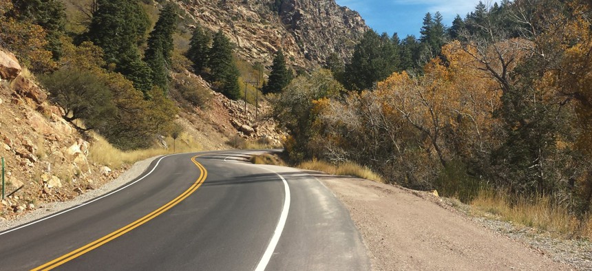
Utah State Route 190 snakes its way through Big Cottonwood Canyon. Michael Grass / RouteFifty.com
It's easy to explore the nuts and bolts of the Beehive State's infrastructure. Follow our data-centric journey up Big Cottonwood Canyon.
PARK CITY, Utah — In a state that is full of visually breathtaking drives, State Route 190, which winds its way up Big Cottonwood Canyon from the Salt Lake Valley into the Wasatch Range, is a stunningly beautiful route.
That’s especially true this time of year when the aspen trees stand out with their shockingly bright yellow autumn leaves against the conifers, creating a golden-green landscape portrait.
Driving up this scenic road, like I did on Thursday, it’s the last place you’d want to be thinking about open data applications. But if you’re a transportation data geek, Utah’s roadways are fun to explore online—once you’re safely stationary and not behind the wheel.
The Utah Department of Transportation is a tech pioneer in a lot of respects, but especially in the way it makes so much of its data available to the public. So it was hard to not jump into UDOT’s open data portal to check out the data about the infrastructure that made my drive possible.

The section of State Route 190 that runs up the canyon between State Route 210 and the Brighton ski area is about 15 miles long. According to the open data portal’s pavement condition section, this section is asphalt and was surfaced in 2004. (The road’s in pretty good shape.)
As I was driving along the highway, I pulled off at periodic points to snap photos. Obviously, the wider the shoulder area, the better for safety. At one point, the shoulder became quite wide, so it was a good spot to stretch my legs. There were some signs discussing the local mining history as well as the geologic history—the road cut exposes some Mississippian Marble.

The shoulder around mileposts 9.135 and 9.175 is in fact 34 feet in width, which is very generous. Did I use a measuring tape to confirm that width? No, I used the shoulder section of UDOT’s open data portal, which also pinpoints the exact milepost information. (Generally, roadway shoulders along Big Cottonwood Canyon range from 4 feet to 7 feet, which give bicyclists and passenger vehicles a good amount room to co-exist.)

There are other datasets for the drive up the canyon, information on everything on the rate of severe crashes and the crashes per mile score to traffic counts (there’s only one automated traffic counter at the mouth of the canyon) to skid information to the height and length of specific sections of roadside barriers—each of which has a specific identifying number and geographic coordinates.

Speaking of roadside barriers, crossing over Guardsman Pass from Big Cottonwood Canyon over to Park City, you’ll quickly discover that there aren’t any heading up to and down from the top of the pass, which is 9,700 feet above sea level. (And it’s a long way down if you aren’t careful.)
But the road over Guardsman Pass, which is closed during the winter for obvious reasons, is not maintained by the state. It’s a road under the jurisdiction of a county road agency. How do I know that? The open data portal has that “ownership code” information, naturally.
While it’s great to have all that information available, sometimes you just want to enjoy the drive.
Here are some additional photos ...


Michael Grass is Executive Editor of Government Executive’s Route Fifty.
NEXT STORY: Texas converts 254 county courts to e-filing


