Why We Need a National Infrastructure Map

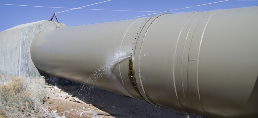
A water pipeline in the Owens River Valley in California. Shutterstock
Setting priorities is hindered by the lack of systematic information available on the nation’s inventory of infrastructure assets, their location and condition.
It is widely accepted that the general condition of America’s infrastructure is poor and that major investments are needed. In its latest annual Infrastructure Report Card, the American Society of Civil Engineers issued an overall grade of D+ and estimated that $4.6 trillion would be needed to address the challenge.
Even though major investment in America’s infrastructure was called for by many of the candidates running for president in 2016, including President Trump, positive movement on this issue has been stymied by political gridlock. One can blame partisan politics. But, perhaps we find ourselves at a political impasse for other reasons. Perhaps we lack a clear, data-driven picture that could provide public administrators, politicians, industry partners, and citizens alike a common understanding of this enormous infrastructure challenge at sufficient geographic detail that it has meaning to them. Perhaps we need a National Infrastructure Map.
On May 1, the National Academy of Public Administration, in partnership with the American Geographical Society, the National Academy of Construction, the American Society of Civil Engineers, and Arizona State University, convened leaders in public administration, infrastructure development, geospatial technology, and data integration/open data—spanning industry, government, universities and the social sector—to tackle this very basic question.
These organizations came together on this important issue because all understood that to have a hope of a coherent national infrastructure investment strategy, we must have a common understanding, a common picture of our national infrastructure. We must know the condition of all of our highly interdependent infrastructure systems, and how they are arrayed geographically, at a very fine scale if we are to set priorities for investment. This is not just a problem for the federal government. Infrastructure is a fundamentally intergovernmental challenge that requires transparency and accountability across local, regional, and federal governmental organizations of all kinds.
Priority setting is an inherently political process that requires the recognition of mutual interest and deal-making. But this political process cannot function well in the absence of good information. Priority setting in infrastructure is hindered by the lack of systematic information available on the nation’s inventory of infrastructure assets, their location and condition. All politics is local and infrastructure is local, yet granular information on the location and condition of infrastructure across the nation is not readily available in a way that can enable a positive-sum politics.
To solve this problem, it is imperative that leaders from every sector join in a thoughtful dialogue about how we, together, can help envision our national infrastructure challenge in a common geographic context that allows us to understand the very specific interdependences that exit between our very real local, regional and national infrastructure needs.
In an age increasingly defined by internet-based systems and open data, the challenge is not primarily one of technology. Geographic information systems for capturing location-based data on infrastructure have been broadly adopted by public agencies and private organizations at every level of government for decades. But access to this information is constrained by a variety of factors, including the lack of interoperability across systems, jurisdictional issues and proprietary rights. Moreover, data is collected for different purposes using different standards and, therefore, is often not comparable.
Consequently, information on the nation’s infrastructure is uneven and stovepiped. Infrastructure challenges cannot be assessed in an integrated way or communicated effectively to the relevant decision-makers and constituencies. However nerdy this may sound, the lack of an online, digital National Infrastructure Map that organizes such information for citizens and policymakers alike is a major cause of our nation’s inability to achieve political consensus on infrastructure investment. Its absence leaves us unable to govern across the divide.
Congress should be investing in the creation of a National Infrastructure Map—one that provides political leaders and citizens with readily available, systematic, comparable, location-based information about the nation’s infrastructure to support an informed political process for determining priorities and acting on them. Done right, this will help overcome the public leadership challenge that has left us stalled, enabling political leaders at all levels of government, across our nation, to marshal support among citizens and key stakeholders around a positive vision for a better nation.
Teresa W. Gerton is the president and CEO of the National Academy of Public Administration; Dr. Christopher K. Tucker is the chairman of the American Geographical Society; Wayne A. Crew is general secretary of the National Academy of Construction; and Jonathan Koppell is dean and professor at Arizona State University’s College of Public Service and Community Solutions.
NEXT STORY: Senate Panel Passes Water Bill That Would Rework Lending Program


