Using Augmented Reality to 3D-Map Underground Infrastructure

Several US Ignite cities like Burlington, Vermont are testing the tool to identify infrastructure like gas lines.
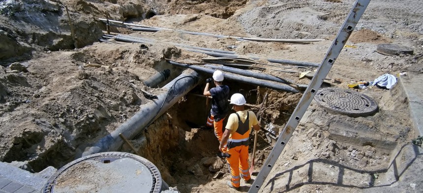
Vermont’s Dig Safe law requires anyone excavating on public or private property to provide 48 hours notice so utilities or municipalities can send workers out to mark underground infrastructure like a gas, water or sewer line. But, sometimes, facilities have long been abandoned and forgotten.
For example, when sewer lines are rerouted to a new bus station and workers hit an unmarked utility vault, it’s “a very expensive surprise,” said Dryver Huston, a mechanical engineering professor at the University of Vermont.
“These are the sorts of surprises that are routinely built into conventional projects because these thing come up,” Huston said. “If you could reduce that uncertainty, you can reduce contract costs and increase the speed of both the permitting and the construction process.”
For two years, Huston has been developing a way to ease collection and presentation of underground mapping data by integrating geophysical sensors—ground-penetrating radar and acoustic and magnetic devices—with augmented reality.
Traditional means of subsurface infrastructure mapping are “tedious” because knowing one’s location is key for the instruments to work better than your average GPS system, Huston said. Linking the sensors with a Unity-based video gaming system allows for 3D imaging that will help workers on site, as well as those viewing remotely.
Burlington, Vermont is one of US Ignite’s Smart Gigabit Communities, developing apps to address its information technology challenges. Huston’s project is now part of that effort by the non-profit group that promotes smart city technologies.
“There was a real opportunity when we started looking at the augmented reality and high-speed networking that could really improve this mapping,” Huston said. “US Ignite was there to help move things along.”
Huston obtained a research grant and partnered with Vermont Gas Systems to test the unnamed tool in Burlington while it continues to be refined.
That way Huston can test the technology against known information about underground infrastructure in the city with the ultimate goal of perfecting a map of all the underground facilities in Burlington and then the state, said Adam Gero, engineering manager with Vermont Gas.
“We’re hoping to get this technology as good or better than current methods,” Gero said.
Streets in dense city centers are often full of intertwined infrastructure, including wooden pipes and things thrown in as fill, that clutter the public right of way. Huston said his tool will locate everything faster, and “you don’t need to be an expert to look and understand the data.”
Chattanooga, Tennessee is another US Ignite city working with Huston to link his tool to its high-speed networks for running smart city apps like AR. The project may also begin working with New York City later this year, Huston said.
Electric utilities and telecommunications companies could similarly use the tool, Huston said, as could larger cities dealing with subway tunnels.
Huston is also working on securing the data that his system gathers via encryption so it can’t be broadcasted to the public.
“Some of this infrastructure has serious health and safety implications,” Huston said.
Dave Nyczepir is a News Editor at Route Fifty and is based in Washington, D.C.
NEXT STORY: 5 ways to contain software costs


