Small Towns Face Congestion Risk During Evacuations, Report Says

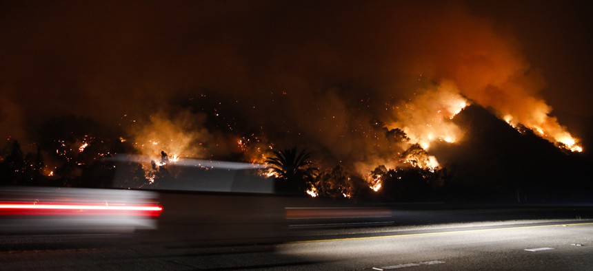
Traffic moves along the Highway 33 in Oak View, Calif. as a wildfires burned in 2017. The wildfires northwest of Los Angeles caused tens of thousands of people to evacuate. AP Photo/Jae C. Hong

Connecting state and local government leaders
A new traffic analysis finds Florida and California are home to the most communities at risk of having congested roads during an emergency evacuation.
Hurricanes, floods and wildfires have all tested state or local governments’ ability to coordinate emergency evacuations in recent years.
Evacuation routes that don’t get people out of harm’s way quickly or poorly executed plans can have deadly consequences, and now new research is highlighting communities across the country where evacuation routes are most constrained.
StreetLight Data, a San Francisco-based transportation analytics company, analyzed traffic data from 30,000 small towns to flag communities most at risk for overcrowded roads or severely restricted evacuation options in the event of a natural disaster.
Florida and California have the most communities with limited evacuation routes.
The top five towns deemed most at risk are all island communities—Camano, Washington; Hilton Head Island, South Carolina; Mercer Island, Washington; Hutchinson Island South, Florida and Sanibel, Florida. But the analysis also found landlocked communities, like Carpendale, West Virginia, and Pahrump, Nevada, could have similarly constrained evacuation routes in the case of an emergency.
Laura Schewel, CEO of StreetLight Data, said the company focused its analysis on towns of under 40,000 people with the understanding that they might have fewer planning resources than big cities or metropolitan areas.
“Our goal is to find a way that someone who has regional responsibility can compare different communities and say ‘Hey, maybe this one is most at risk’ and put extra resources there,” she said.
To evaluate which communities were most at risk, StreetLight used location data collected anonymously from cell phone applications and connected car navigation systems to understand where and when people travel. Based on that information, the company extrapolated which routes into local communities are most frequently used by travelers and which are most susceptible to overcrowding and congestion in the case of an emergency.
Analysts looked at the number of routes in and out of a town, use of the primary route on an average day, and the town’s population.
In the case of an island community, it’s understandable that one bridge might be the only option to carry traffic in and out of a town during an evacuation.
But even in landlocked communities with more exit route options, residents’ travel habits could pose a risk during an evacuation, Schewel said.
“In non-island situations, you might have a town that has three ways out but if 85 percent of trips all use one way, that’s a risk,” she said. “If there is a fire, for example, and people are reacting and doing what they normally do, you have a big bottlenecking risk on that route.”
There could be a good reason for not using other routes, perhaps the roads are gravel or long and winding, Schewel said.
Knowing ahead of time which routes pose congestion risks can give emergency planners a better understanding of how long it takes to evacuate an area or which routes they could direct residents toward to ease congestion, she said.
“People’s habits add risk to the mix,” she said.
The states found to have the most at-risk communities are Florida with 20, California with 14, Arizona with eight, Texas with six, and Washington with six.
State, local and federal government have all raised concerns over the adequacy of evacuation resources in recent years. The Paradise, California wildfires highlighted inadequacies in local alert systems. Gridlock experienced by California residents during past wildfire evacuations has spurred some to review road capacities. In Texas, lawmakers are worried about the propensity of hurricane evacuation routes to flood and cut off residents’ escape routes. In Corpus Christi, lawmakers have considered adding a third evacuation route to island communities to address congestion concerns.
Federal lawmakers in both the House and the Senate have introduced legislation this year to improve emergency evacuation routes. A Senate bill would create a $100 million grant program that would fund connector road projects that create new access to thoroughfares or improve or expand existing roads and bridges.
A House bill would similarly fund a grant program for improvement projects, but would allocate $1 billion toward the effort.
Andrea Noble is a staff correspondent with Route Fifty.

NEXT STORY: Virginia pilots drones-as-a-service contract


