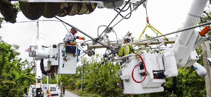
Tracking emergency response assets in a disaster


Connecting state and local government leaders
As emergency responders arrive in the Bahamas to help rescue and recovery efforts after Hurricane Dorian, they need ways to track their assets on the ground.
As emergency response teams from Fairfax County, Va., Los Angeles and other municipalities arrive in the Bahamas to help rescue and recovery efforts after Hurricane Dorian, they need ways to track their assets and people on the ground.
When Lakeland, Fla., sent help to Puerto Rico in 2017 after Hurricane Maria, Fleet Manager Gary McLean relied on the Verizon Connect software-as-a-service solution to track people and resources on the ground.
“Lakeland sent trucks and workers to Puerto Rico to aid disaster relief,” McLean said in an email. “Using Verizon Connect’s software equipped with GPS tracking technology, we were able to remain online and track/manage our assets, even while we were en route by sea and with limited cellular connectivity when they arrived. Overall, the technology helped the disaster response teams keep tabs on their assets and vehicles to ensure they were in the right place at the right time.”
The technology also helped McLean protect the city’s equipment while it was deployed, “preventing the loss of thousands of dollars’ worth of assets since we were able to keep track of everything in near real time,” he added.
At its core, Verizon Connect is a cloud-based platform that provides telematics information and serves as a multi-resource management platform. Customers install a black box, which includes a GPS tracker, a slot for a SIM card and a plug to connect it to the vehicle's or asset's computer, on any piece of equipment that needs to be tracked. That box pings via GPS in near real time for location data and collects diagnostic data about the vehicle's health. The box sends all that data over the Verizon 4G network to Verizon Connect servers, where it’s analyzed in real time. The results are disseminated through a mobile app and on the command center website.
The solution breaks down three silos that impede effective emergency response, said Amin Amini, managing partner of solution engineers for Verizon Connect.
The first silo has two parts: location tracking and health monitoring. Equipment and people for rapid response are rarely kept in a single garage bay. Rather, they're scattered throughout an area, and when a disaster strikes, there’s no time to search for them, Amini said. That’s why having the asset inventory on a digital map is crucial.
Those assets must also be deployable, and that’s where the second part comes in. Verizon Connect monitors the health of the equipment by capturing diagnostic data from in-vehicle or on-asset computers so that fleet managers can proactively handle maintenance and repairs.
The second silo is about response. In the case of a hurricane such as Dorian, which is currently lashing the Carolinas, it’s unlikely that a single municipality will handle response. Instead, the situation will call for mutual aid in which multiple departments and regions respond. The various commanders need to know where their vehicles and workers are and how they’re doing, and then they need to be able to share that information with their mutual aid partners. Verizon Connect Share lets organizations that use the technology share in real time their asset maps with other agencies even if they aren't Verizon Connect customers.
Another aspect of this silo is measuring what’s happening in the field. Within the telematics platform, users can set geofences, or markers, to delineate affected areas. It also lets users set reporting requirements such as notifications when vehicles arrive safely on the scene and when they depart.
The last silo is analytics. “We try to take data, all that information that we derive -- so the health, the response times, what we did onsite, how long we were onsite -- and be able to analyze that data in a backwards view: How did I get there? How fast did I get there? How fast did I resolve the issue or provide the mutual aid and what could I do better next time?” Amini said.
The technology isn’t just for emergencies, however. San Jose, Calif., uses Verizon Connect to track and manage its fleet of 2,750 vehicles covering 250 city facilities. One benefit the city has seen is faster response times to residents' service calls, such as fixes to sewers during a storm or corralling aggressive animals.
Lakeland has also been using Verizon Connect for everyday situations for at least seven years to alleviate challenges such as vehicle accountability, monitoring and route scheduling at several departments.
“The waste management department sets geofences in the platform to help their team mitigate risk and liability by making sure that they’re alerted if any of their valuable equipment or assets leaves a particular geographic area,” McLean said. “Besides this, we also use the technology generally on a day-to-day basis in order to track vehicles and assets like cranes in real time…. The equipment provides real-time location of vehicles and that’s critical to all our needs.”


