NASA data supports agricultural analytics


Connecting state and local government leaders
NASA data is powering soil analytics that can deliver accurate and scalable irrigation and fertilization metrics and enable research into the impact of extreme weather events.
NASA data is powering soil analytics that can deliver accurate and scalable irrigation and fertilization metrics and enable research into sustainability and the impact of extreme weather events.
The Harvest Consortium, part of NASA’s Food Security and Agriculture program, is partnering with CropX, a soil analytics firm, to gain advanced insights for global agricultural monitoring.
CropX uses 18-inch in-ground soil sensors that collect and geo-tag moisture, temperature and salinity data at multiple depths. Data from the soil sensors, precise weather and evaporation forecasts, satellite images and other moisture-related data are fed into the company’s crop models to show how water, nutrients and salinity levels affect the development of specific crops. The soil intelligence platform’s machine learning algorithms of are constantly refined based on actual growth of the crops.
The in-ground sensors are a key data source. “Most agricultural companies rely on above-ground data such as satellite imagery, and less than 10 percent of companies get data from within the soil, which is where the most valuable data is,” Matan Rahav, director of business development at CropX, said in an Amazon Web Services case study. “By the time there are visible signs of crop stress detected from space, the damage is already done.”
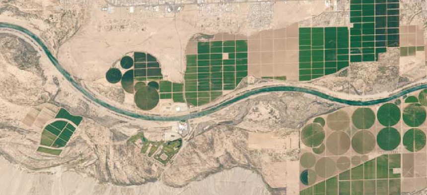
CropX and NASA are conducting a year-long pilot across alfalfa farms in Arizona that will fine-tune the algorithms to provide accurate and scalable irrigation and fertilization metrics based on CropX’s soil intelligence data and synthetic aperture radar information from NASA satellites.
The integration of NASA data along with satellite data from partner agencies will help establish the parameters for water usage estimates, yield prediction, soil quality and land usage assessments based on multiple crop growing cycles.
“We are in a constant race to produce and supply enough food in order to feed a rapidly growing global population, with finite land and natural resources. NASA Harvest is dedicated to collaborating with top innovators to make the best possible use of our agricultural land,” NASA Harvest Program Director Inbal Becker-Reshef said. “CropX unites our space-led vision with on-farm intelligence and results.”
NASA data is also powering a new tool the Department of Agriculture developed to provide easy access to soil moisture data.
The Crop Condition and Soil Moisture Analytics tool provides access to high-resolution data from NASA’s Soil Moisture Active Passive mission and the Moderate Resolution Imaging Spectroradiometer instrument.
The tool provides more thorough spatial coverage and consistency than other soil moisture measurement methods, said Rajat Bindlish, a research associate in Earth science remote sensing at NASA’s Goddard Space Flight Center.
The primary users of the tool will be researchers and statisticians at USDA’s National Agricultural Statistics Service who currently release weekly reports that classify states into moisture categories and track crops’ health and growing progress. USDA researchers and statisticians will incorporate the tool into applications that spot flooded fields and identify conditions that might prevent planting, according to NASS Spatial Analysis Research lead Rick Mueller.
In addition to supporting agricultural operations, it will enable research into sustainability and the impact of extreme weather events, Mueller said. “These satellite-derived vegetation condition indices and soil moisture condition maps show first-hand the ever-changing landscape of U.S. agriculture.”


