Earthquake warning network now covers West Coast

The ShakeAlert earthquake early warning system is now available residents of California, Oregon and Washington, reaching 50 million people in the country’s most earthquake-prone region.
The ShakeAlert earthquake early warning system is now available residents of California, Oregon and Washington, reaching 50 million people in the most earthquake-prone region in the contiguous U.S. and giving them precious seconds of warning before a quake hits.
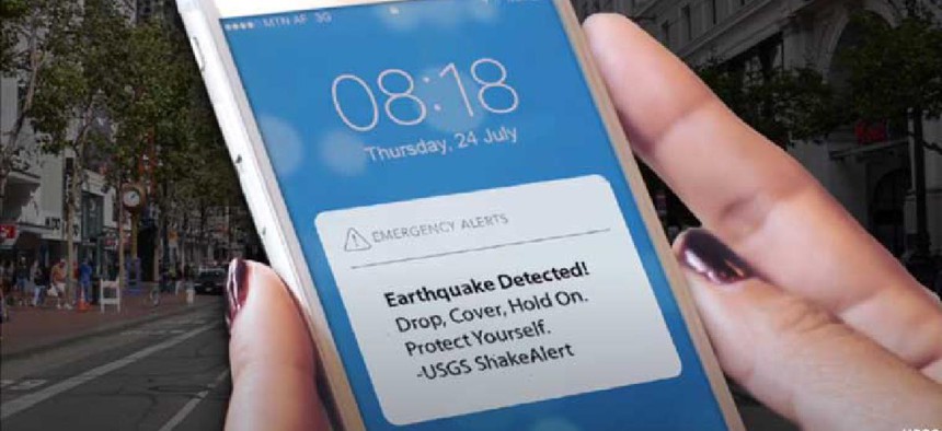
With the May 4 rollout of the service to Washington, residents in these three states can now receive earthquake warnings from the U.S. Geological Survey through the Federal Emergency Management Agency’s Wireless Emergency Alert system, third-party phone apps and other technologies, such as TV, internet, cellular networks and radio broadcasts.
The ShakeAlert system relies on sensor data from USGS’ Advanced National Seismic System, a collection of regional earthquake monitoring networks operated by partner universities and state geological surveys throughout the nation.
ANSS sensors detect the compressional waves from an earthquake that precede the stronger surface waves that cause shaking. The sensors send their data to a ShakeAlert processing center, where algorithms estimate the earthquake size, precise location and the shaking it may produce.
If data from at least four sensors detect the earthquake and it meets certain severity criteria, the USGS issues a ShakeAlert message – within seconds. Distribution partners, such as FEMA, mobile operating systems and independent app developers then produce and deliver an alert to people’s cell phones and computers with the expected arrival time and intensity of shaking at the users’ location.
In addition to supporting public alerts to mobile phones, data from ShakeAlert has been used to power applications that slow down trains to prevent derailments, open firehouse doors so they don’t jam shut and close valves to protect water and gas systems, USGS officials said.
The sensor network is only about 65% complete for Washington state, and officials there said additional work is needed to improve the delivery speed of alerts and the algorithms that estimate earthquake size and shaking. As more seismometers are added to the network, ShakeAlert will continue to expand its alert delivery area and improve messaging speeds.
“Systems powered by ShakeAlert can turn mere seconds into opportunities for people to take life-saving protective actions or for applications to trigger automated actions that protect critical infrastructure,” USGS acting Director David Applegate said. “USGS is proud to have been part of a collaborative team that made this robust public safety system available for millions of citizens on the West Coast."


