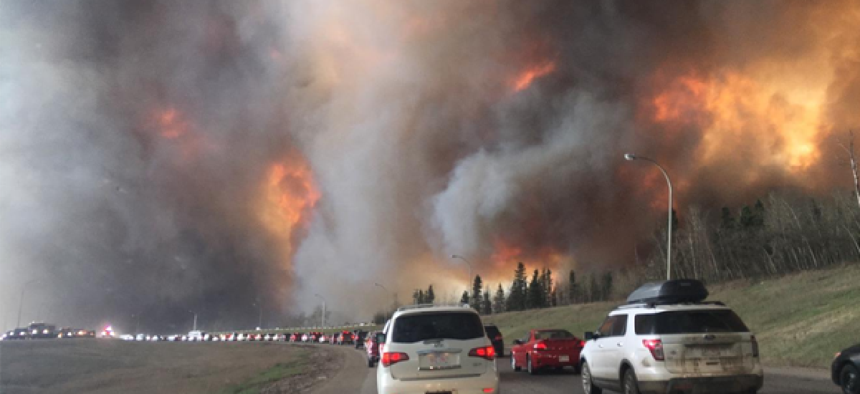
Predicting the path of wildfires


Connecting state and local government leaders
The Rapid Analytics for Disaster Response analytics and modeling suite combines artificial intelligence, cloud computing and damage assessment tools to predict path of wildfires and evaluate potential damage.
To more accurately forecast the movement of natural disasters like wildfires and floods and mitigate damage to key energy infrastructure, researchers at the Pacific Northwest National Laboratory are expanding PNNL’s operational Rapid Analytics for Disaster Response image analytics and modeling suite. By combining satellite, airborne and drone images with artificial intelligence and cloud computing, RADR can not only assesses damage but predict it as well, giving responders time to protect grid infrastructure from damage that could cause outages.
The project began in 2014 with the development of an algorithm that analyzed satellite imagery to spot changes in the landscape after a storm, according to DOE Science News. During the 2016 hurricane season it was used to determine whether electric grid, petroleum, and gas facilities were damaged or at risk.
To improve timeliness and ground-level assessments, the research team expanded the sources of imagery. Besides pulling images from a variety of domestic and international satellites with different sensing capabilities, the team added infrared imagery to RADR, which provided a clearer view of the landscape that was previously unavailable.
The team has also integrated publicly available and crowdsourced images from social media. By pairing overhead imagery with on-the-ground images, researchers can make a more accurate and complete assessment of damage. If satellite images, for example, indicate damage to power lines, that may be confirmed by crowdsourced pictures taken at the scene. RADR integrates all the available these images, removes the duplicates and analyzes them to provide a more accurate view of changing conditions.
Another source for predicting wildfire outcomes comes from weather forecast data and information about wind, vegetation and fuel. By combining imagery with fuel data and wildfire models, the researchers hope to be able to accurately predict the path a fire takes.
A cloud-based system offers an end-to-end pipeline for retrieving available imagery, processing the analytics, and disseminating data to be used directly in a user’s own software, through desktop web browsers, and/or via mobile applications, PNNL officials said. What’s more RADR can produce visual analytics that can be easily understandable to a wide audience of responders.
With the increasing frequency and severity of wildfires, floods and other extreme weather events. The PNNL researchers hope the added capabilities of RADR will give responders information they can use to make informed decisions for protecting energy infrastructure and planning relief efforts.
“The work has the potential to make a difference in what we expect will be a very challenging wildfire season,” said Pamela Isom, acting director of the Department of Energy’s Artificial Intelligence and Technology Office. “This has been a very productive collaboration among several partners, including our colleagues at the Department of Defense’s Joint Artificial Intelligence Center, Department of Homeland Security and at PNNL.”


