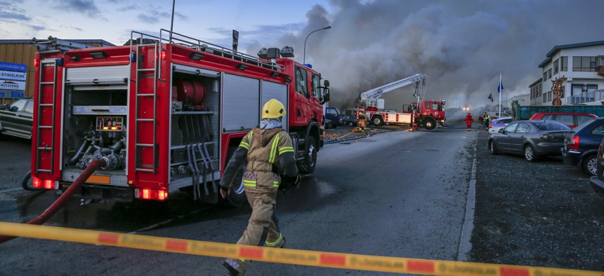
Advancing public safety by protecting critical infrastructure

GettyImages/ Arctic-Images
Integrated and collaborative systems improve situational awareness and help responders quickly detect and contain threats.
The recently signed Infrastructure Investment and Jobs Act presents tremendous opportunities for federal, state and local government agencies to improve and protect the nation’s infrastructure, but there’s still more to be done. From a public safety perspective, planning for impending threats to critical infrastructure, such as natural disasters, cyberattacks and other risks, has profound impact on agencies’ ability to coordinate response and mitigate impact on communities.
The need for coordinated response
As public safety priorities are expanding and natural disasters and man-made threats are increasing, agencies need the ability to share data – both between systems and across organizations. Having siloed applications poses a threat to incident resolution and progress by slowing inter- and intra-agency communication and reducing situational awareness.
By integrating everything from data analytics and visualization, records management systems, computer-aided dispatch solutions and mobile applications, agencies can enable rapid data sharing – from dispatch all the way to first responders on their mobile devices.
Taking it a step further, cloud-based collaboration spaces provide agencies the means to seamlessly communicate with organizations outside public safety. For example, if a car crash on a highway knocks down a power pole and stops traffic in both directions, police, EMS and fire departments must communicate not only with each other, but with the Department of Transportation, the local utility company and a host of other organizations. Sharing data between critical systems allows everyone to consume the same information in real-time and collaborate to resolve the situation faster with less impact to the community.
El Paso County, Texas, is a great example of agencies successfully leveraging data sharing and real-time communication. Located on the border of Mexico, the county must contend with a wide range of issues – from border security to potential gang-related activity. By integrating critical systems across 39 agencies, they can better share data and provide personnel with full situational awareness. Additionally, first responders can communicate and rapidly coordinate with other local and federal agencies.
Shifting from reactive to proactive strategies
Everyday emergencies like highway accidents and serious physical threats, such as terrorism, are a constant risk to infrastructure. For example, between 1970 and 2017, there were 282 attempts to deliberately derail trains and 817 additional attacks on railway infrastructure.
However, the list of risks is expanding. With the surge in cyberattacks and emergence of previously nonexistent digital threats, the landscape of hazards has drastically changed, and agencies must be prepared.
Fortunately, the benefits of integrating systems and sharing information goes beyond efficiently responding to emergencies as they arise. Agencies and other organizations can become proactive and not just reactive.
With greater access to integrated information, agencies can analyze richer data (both historical and real-time) to better understand risks. This allows them to plan for the future as well as take action now to mitigate issues before they arise.
Protecting roads, railways, utilities and the plethora of components that make up the nation’s infrastructure is imperative to maintaining safe, healthy communities. Integrating capabilities of critical systems enables earlier detection and containment of threats, and improving the quality, timeliness and availability of information enhances situational awareness for first responders during an emergency. Together, these strategies can minimize impact to residents and promote greater safety for all.
Bill Campbell, senior vice president, Global Public Safety, Hexagon's Safety, Infrastructure & Geospatial division.
NEXT STORY: AI app fills last-mile GPS gap for responders


