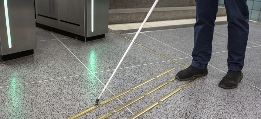
App eases public transit for blind riders

Johner Images / Getty Images

Connecting state and local government leaders
Waymap provides step-by-step audio instructions to blind commuters -- without Wi-Fi, Bluetooth, GPS or cellular signals.
To help visually impaired commuters navigate public transit, Washington, D.C., launched a new mobile app at three subway stations this week.
Developed by U.K.-based Waymap, the free app does not need external signals like GPS, Bluetooth or cellular service to operate. It also will not require the Washington Metropolitan Area Transit Authority (WMATA) to install any physical infrastructure to its subway stations or bus stops.
Users download the app to their phones, and it will start feeding instructions regardless of Wi-Fi or cell signal strength. Waymap leverages the motion sensors in smartphones to measure movement, direction and elevation. It also learns users’ walking styles to determine stride length.
This spring, Waymap performed a lidar scan and collected 360-degree video images of the subway stations to build accurate maps. When users select a destination and venue, the app loads the data onto the users’ smartphone, combines it with the phone sensor data and it feeds that data into an algorithm to calculate and deliver audio navigation instructions
The step-by-step directions are said to be accurate up to three feet, and they also give listeners context, in addition to granular information about how many steps to take and how many degrees to turn.
Waymap founder and CEO Tom Pey, who is blind himself, said the app can be improved by users who do not have visual disabilities. To avoid unforeseen hurdles, visually impaired commuters often stick to a limited number of routes from home, Pey told Reuters. But if people without visual disabilities start using the app, the additional data will help to refine instructions and improve accuracy -- and in essence, “[you’ll be] donating your steps to a blind person," he said.
"Instead of 2.5 routes you can do 25 routes, 250 routes," Pey said. "This will allow more people to become more independent -- not to have to rely on family and friends -- and use public transport like everyone else."
New York City’s Metropolitan Transportation Authority has also started piloting this technology.
According to Reuters, WMATA will roll out the application in phases, with plans to reach at least 30 local metro stations and close to 1,000 bus stops by September. The eventual goal is for widespread adoption across the Metro system by early 2023, the article said. Waymap will be enabled for use at the Brookland, Silver Spring, and Braddock Road subway stations starting May 24.
"Our goal is to provide our customers with reliable service," WMATA Managing Director of Accessibility Services Christiaan Blake said at a May 24 press conference, as reported by DCist. "It's not always easy but each day we're making strides towards that goal."


