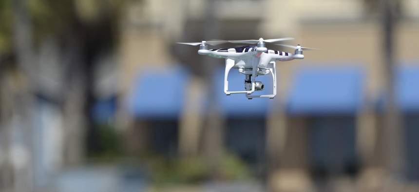
Wanted: 3D mapping drones for indoor search and rescue

©Studio One-One/Getty Images
NIST’s Public Safety Communications Research Division is looking for an affordable solution that will give public safety drone operators accurate indoor positioning and high-quality 3D digital mapping in real time.
To improve responders’ search and rescue capabilities, the National Institute of Standards and Technology has launched the First Responder UAS 3D Mapping Challenge, or UAS 5.0.
The competition is offering close to $1 million for development of an affordable solution that will give public safety drone operators accurate indoor positioning and high-quality 3D digital mapping in real time.
After a natural disaster, the 3D mapping capability would help responders find and assist victims in dark, smoke-filled, damaged facilities with no GPS access. Besides locating people in collapsed buildings, a real-time 3D map could help identify nearby obstacles and other hazardous conditions that would inform rescue operations.
NIST’s Public Safety Communications Research Division is looking for purpose-built drones that can deliver real-time situational awareness in a compromised indoor environment.
Specifically, PSCR wants to see relatively autonomous drones that require no more than two UAS operators and support personnel. The vehicles must include mapping and detection sensors as well as wireless communication with the ground control station.
The drones must be primarily battery powered and maintain command and control data links at all times. Any vehicle that loses C2 connection must stop its operations and land.
At minimum, contestants must be able to show an incident commander a visual display of the progress of the 3D scan during the mission with less than 10 seconds of latency between scan and rendering. A preferred capability would be real-time 3D rendering and the ability to identify and communicate the relative location of people within the search environment to the incident commander.
Additional preferred capabilities include real-time audio, the ability of the drone to right itself if it becomes disoriented on landing and compliance with Blue UAS or Green UAS standards for drone security.
The total build price of the complete, ready-to-operate system and any subscription or license fees must be under $20,000, with costs less than $10,000 preferred.
PSCR is hosting the challenge in collaboration with Kansas State University’s Aerospace and Technology Campus.
Kurt Carraway, executive director of KSU’s Applied Aviation Research Center, said he is eager to see the innovation that will come from this challenge.
“Drone advancements can help inform a response plan, mitigating risk to victims and our public safety agencies,” he said. “Whether the scenario is a tactical response by law enforcement or a partially collapsed structure, effective 3D mapping in indoor scenarios will significantly enhance emergency crews’ response.”
The competition will accept entries beginning April 18, with multiple stages running through September 2024. A panel of judges and subject matter experts will determine prize recipients through each stage of the competition.
“This challenge will develop uncrewed aircraft prototypes with unique capabilities that may soon help first responders improve the time spent locating a victim or remove obstacles that may cause harm,” said Terese Manley, PSCR UAS portfolio lead. “A UAS with enhanced visual images and video can be used to capture 3D maps from inside a building or collapsed infrastructure where it’s not safe to enter. This improved situational awareness can impact the public safety mission and limit loss of life.”
To learn more about the challenge and register, visit https://firstresponderuaschallenge.org/uas5/.
NEXT STORY: Housing Permits Dip for First Time in a Decade


