Wildlife management migrates to the cloud

Jonathan Steele/Getty Images
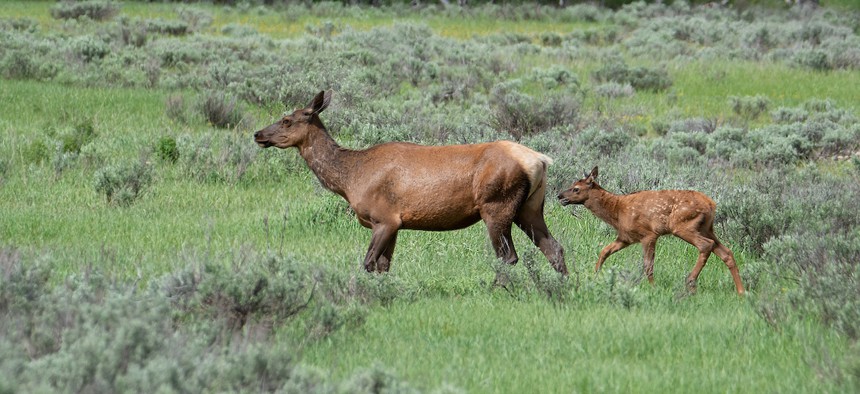
Utah’s Division of Wildlife Resources relies on cloud services to process the massive amounts of location data it needs to analyze real-time movements of elk.
Ever wonder how to get elk to stop trespassing on private lands? Using a cloud-based tool to track the animals’ movement, the Utah Division of Wildlife Resources (DWR) solved the problem.
“When you identify areas animals want to use a lot, we’re able to go out, assess habitat conditions and do habitat projects, where we do plantings or we remove old growth of trees … to provide food and shelter for animals on the landscape,” said Blair Stringham, wildlife migration initiative coordinator at DWR. The division also allows more hunting permits on private property to better control the state’s elk population.
“We’ve achieved a better balance … and maintain our populations a lot better,” he said.
DWR’s developed the latest iteration of its six-year-old Wildlife Tracker tool with the help of Google Cloud. It enables officials to visualize and analyze real-time movements of collared animals in the state. The associated cloud-based database serves as a repository of GPS tracking data for wildlife in about 45 million locations.
To collect this data, DWR puts GPS-enabled collars on some animals’ necks to provide specific animal location points to the Wildlife Tracker multiple times per hour. Built on the Google Cloud Platform, DWR stores the data in BigQuery, a serverless enterprise data warehouse and can process these large datasets in near-real time. Because it is integrated with Esri’s ArcGIS, DWR can overlay the information onto static and dynamic maps and create GIS layers, animations and heat maps.
“The storage of this data over time is what allows BigQuery to categorize and view data points over time to identify animal behavioral patterns,” Brent Mitchell, Google’s managing director, U.S. State & Local Government and Education, wrote in an email. The tracker also uses Google’s AppEngine for building scalable backends on a serverless platform and Cloud Functions, an event-driven serverless compute platform. “This process is automatic and provides accurate spatial analyses with geography data type over GeoJSON and WKT formats. Support for core GIS functions, including measurements, transforms, constructors, and more, uses familiar SQL.”
DWR staff can zoom in on individual collars and get alerts and updates via email or text message for specific animals or species. (DWR currently has 36 species in the tracker.) They also can compare datasets across millions of data points at once, Mitchell wrote.
Besides helping DWR solve the roaming elk problem, employees have used DWR to study migration timing to understand animals’ survival. Staff also monitor wildlife units, which Stringham said are designations similar to county boundaries.
“You can sort by that and look at an individual species within that unit, you could look at a variety of species in that unit, you can look at individual animals,” he said. “You can draw a circle or a square anywhere and then do a search and see if animals have been there. Once we got the data, we’ve been able to build out some tools to use it in just about any way we possibly could.”
DWR has been collecting data on animal movement for some time, but the cloud makes it easier than ever, Stringham said. Early tracking methods also involved collars that beeped every few seconds, and the only way to find the animals wearing them was with very high frequency telemetry.
“You’d take an antenna and if you pointed it in the direction of the animal, you’d hear the beeping,” he said. That meant researchers had to be within a couple miles of the animal and drive around to triangulate a location. “That would take a couple hours, usually, to get one point from an animal,” he said. Getting multiple points of an animal per day was “almost impossible.”
The next iteration of collars introduced GPS, which made collecting data on multiple locations per day easier, but “over the course of time, your dataset just amounted to millions and millions of locations,” Stringham said. “We needed a program that would really allow us to be able to use that data in a meaningful way.”
He expects that DWR will continue to build on the Wildlife Tracker’s capabilities. For instance, they’re working to improve search results so that, for example, deer show up in different colors, not all the same one.
“We have a lot of bird data we’re going to be adding to it, which will tell us a lot more about all the hundreds and hundreds of bird species out there,” Stringham added. The cloud “really just changed everything we do now.”
Stephanie Kanowitz is a freelance writer based in northern Virginia.
NEXT STORY: A Roadmap to Achieving 24/7 Carbon-Free Energy


