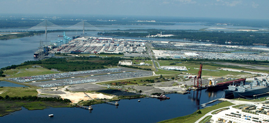
Port of Jacksonville launches safety information system


Connecting state and local government leaders
PORTS provides real-time information via sensors on water levels, currents, meteorological conditions and under-bridge clearance, giving mariners critical information to avoid groundings and collisions.
The Port of Jacksonville, Fla., is the latest port in the country to get an information system designed to increase safety for ships by supplying mariners real-time data on shipping traffic, schedules and “coastal intelligence” on natural conditions surrounding the busy port.
PORTS, or the Physical Oceanographic Real-Time System, was developed by National Oceanic and Atmospheric Administration and its local partner, the Jacksonville Marine Transportation Exchange (JMTX). It provides real-time information via a network of sensors on water levels, currents, meteorological conditions and under-bridge clearance, giving ship masters and pilots critical information to avoid groundings and collisions.
The St. Johns River in Jacksonville will become the 23rd location to use the system and is the second largest PORTS ever established, according to NOAA’s announcement of the project.
“By providing integrated real-time tide, weather and bridge clearance information, Jacksonville PORTS will help reduce the chance of a ship accident,” said Richard Edwing, director of the NOAA’s Center for Operational Oceanographic Products and Services.
The system has proven its worth, he said, noting that studies done at four PORTS locations around the United States have shown a 50 percent reduction in groundings and $50 million in economic efficiency benefits every year.
The vessel tracking system, a component of PORTS, provides information on scheduled and actual ship arrival and departure times, as well as the location and status of vessels, in port or sailed.
The $3 million system also supplies information in a variety of formats, including telephone voice response and Internet, notes the PORTS site. The real-time data is available free of charge.
The sensor network covers the mouth of the St. John River, down to Racey Pt. in southern St. Johns County. It is an “excellent example of coastal intelligence,” said NOAA’s National Ocean Service Assistant Administrator Holly Bamford at the dedication of the system.
“The goal is to provide mariners with improved domain awareness given the dynamic conditions and changes in water levels and currents in the St. John’s River so they can navigate more efficiently and safely.” In 2013, the Port of Jacksonville handled 8.2 million tons of cargo and over 630,000 vehicles, and is now the top vehicle export port in the United States.
With the information provided by PORTS, shippers can optimize cargo loads, maximizing profits and efficiency. The information can also be used to “enhance coastal resilience and national resource management.” Other sectors to benefit from the information include the fishing industry and recreational boaters.
In addition to JMTX, project installation, operation and maintenance services were provided by the Woods Hole Group. The National Ocean Service’s Center for Operational Oceanographic Products and Services provided technical guidance and will continue to provide ongoing quality control and data dissemination.


