Need Cattle-Guard Location Data? Utah Has That and Plenty More
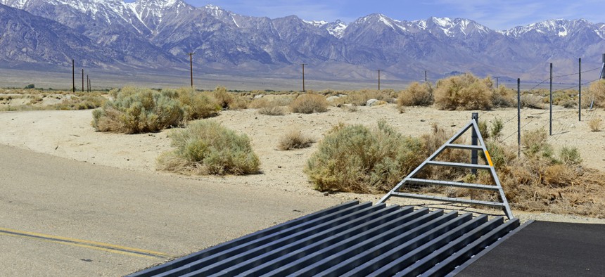
Cattle guards like this one are common features along rural roads in the American West. Robert Cicchetti / Shutterstock.com


See how the Beehive State’s transportation department is using its open-data portal can to unlock all sorts of information.
If you’re driving into the Salt Lake City area from Wyoming on Interstate 80 and leave the highway at Exit 169 to take the local route through the stunningly scenic Echo Valley, you’ll cross over metal grates in the roadway designed to keep roaming animals from wandering onto the interstate.
Those cattle guards are a familiar roadway feature in ranchlands across the the western, southwestern and other rural areas of the United States, especially adjacent to busy interstate highways, where ranchers want to prevent their animals from getting hit by high-speed traffic if they happen to walk up a highway exit or entrance ramp.

The four cattle guards at Exit 169 are marked on this UDOT map with blue dots, just to the east of the junction of Interstates 80 and 84 just outside Echo, Utah.
In the case of Exit 169 in Echo Valley, the state assigned the four cattle guards at that interchange the identification numbers 3985621, 3985622, 3985623 and 3985624, logged precise latitude and longitude coordinates, noted that the cattle guard type was “metal across roadway” and put the cattle guards under the maintenance jurisdiction of the Utah Department of Transportation’s Region 2.
All that seemingly boring but specific information about cattle guards is easily accessible via UDOT’s open data portal, which contains a treasure trove of state agency data about transportation infrastructure, from bike lane locations to crashes-per-mile data to pavement conditions to rumble-strip locations to signal-pole locations.
The bulk datasets are available to download via the open-data portal site and data can be filtered in various ways and mapped as well.
Watch this new Utah Department of Transportation video about all the information that’s available through the agency’s open-data portal and how to use it:
(Image via Robert Cicchetti/Shutterstock.com)
NEXT STORY: Boulder, Colorado, Has More Toilets Than People