NYC Will Spend $100 Million on Walls and Other Measures to Block Lower Manhattan From Floodwaters

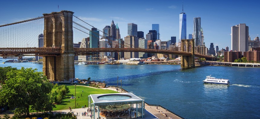
Lower Manhattan, New York City IM_photo / Shutterstock.com

Connecting state and local government leaders
The effort will focus on an area badly affected by Superstorm Sandy in 2012.
To help protect Lower Manhattan from being inundated with water during severe storms, New York City plans to spend $100 million on a flood prevention system that will include earthen berms and deployable walls, Mayor Bill de Blasio announced on Thursday.
The investment will come on top of nearly $15 million the city allocated earlier this year to improve southern Manhattan’s ability to withstand extreme weather. During superstorm Sandy in 2012, water surged into this part of the city, pouring into subway stations and the Brooklyn-Battery Tunnel, as most of the area was left without power.
“So much of what is important to this city is in Lower Manhattan,” de Blasio said, according to a transcript of a press conference held on Thursday. “It all has to be protected. This investment is going to be a key part of that.”
Daniel Zarrilli, director of the Mayor’s Office of Recovery and Resiliency said at the press conference that the city is exploring various types of floodwalls. Some would be pre-installed in the ground and could be raised up, others would have to be put in place.
He described the earthen berms as basically man-made hills designed to keep river water from overflowing into neighborhoods.
The new flood prevention measures will target an area that stretches from Montgomery Street, which is located on the east side of Manhattan between the Manhattan and Williamsburg Bridges, around the southern tip of the island, and up its western side to the north end of a 92-acre planned community known as Battery Park City.
Zarrilli said there would be a design process involving public input to determine the exact location of the floodwalls. “We’re trying not to wall ourselves off from the waterfront, and want to make sure that we can do—continue to access the waterfront, but be able to provide that flood protection when needed,” he explained.
During the press conference, de Blasio acknowledged that flood insurance rates remain a “great concern” for the city. “It does go to the heart of the question of affordability,” the mayor said.
Currently, New York City is in the process of appealing preliminary flood insurance rate maps the Federal Emergency Management Agency has issued for the region. The maps last underwent a major update in the 1980s.
In the city’s view, the newly issued maps overestimate the risk of flooding in certain areas.
“While we believe the floodplains are growing, they’re not growing as much as… the flood insurance rate maps, say they are,” Zarrilli said on Thursday.
As he described the new flood protection investments, Mayor de Blasio recounted some of the havoc that unfolded in lower Manhattan after Sandy hit.
“There was tremendous fear, first of all, because, remember, some areas were flooded directly and some, obviously, even though they weren’t flooded, didn’t have electricity,” he said. “You’ll remember there wasn’t enough food, there wasn’t enough water. So I think, for people in this community, it’s very vivid what it means that there is still a threat out there.”
Bill Lucia is a Reporter for Government Executive’s Route Fifty.

NEXT STORY: What Federal Initiatives Are Happening in Your City or County?


