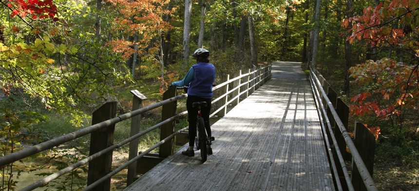
How Georgia Reorganized All Its Parks and Rec Data in 9 Months

Dennis Sabo / Shutterstock.com

Connecting state and local government leaders
What was once scattered across multiple agencies is now easily accessible through one portal thanks to a cross-sector collaborative effort. And the effort is also boosting digital engagement and state revenue.
Georgia’s Department of Natural Resources spent 20 years and $20 million compiling mountains of geospatial data siloed across six divisions, a disservice to citizens unable to find outdoor recreational information easily accessible.
Data on more than 400 properties totalling an excess of 1 million acres existed in multiple formats scattered among 140-some webpages, so DNR hosted town halls to seek feedback and plot out a strategy.
Lacking a large budget, the agency relied on input from more than 3,000 residents, Google and Georgia State University interns to build the now-functional Georgia Outdoor Map over nine months in 2014.
“I wanted to make sure the data was in a citizen-centric format, not divisional or scientific, mobile-enabled and extremely easy to use,” John Martin, DNR chief information officer, told Route Fifty in an interview. “I went to Google because everybody understands Google Maps; there’s not a big learning curve there.”
Before the map, a fisherman would need to know which DNR division oversaw the boat ramp they were looking for, and the state manages around 150 such facilities. Depending on whether or not the ramp was built with federal funds, its whereabouts would be known to one of three divisions.
Residents being understandably frustrated, Martin’s team realized they needed to coordinate elements across all division maps: hunting, fishing, camping, hiking, lodges, and any other data sought by citizens. That meant aggregating all the data elements first, a time-consuming task, but that’s what the GSU interns were for.
Google built out the backend in HTML5.
“Trying those things and asking for help from local tech companies and other organizations to drive DNR’s audience toward program services—I think we’ll see more and more of those partnerships with private agencies,” Amy Larsen, GovDelivery state and local market strategist, said in an interview. “They didn’t view the problem within the department structure but as a citizen and what was needed from the organization, and a lot of agencies are trying to do that well right now.”
DNR’s map recently won one of the St. Paul, Minnesota-based government communications firm’s Digital Strategy & Impact Awards for increasing daily visitorship at local campsites sometimes as much as 40 percent.
The map’s “near me” functionality allows anyone with a WiFi signal to show, say, all state hiking spots within a 25-mile radius. If a husband wants to hunt while his wife golfs, they can set those parameters to reveal only those sites that offer both activities.
Once a user selects one of the state’s 41 parks on their phone, Google Maps provides directions.
With more than 1,500 additional unique visitors a month, the Georgia Outdoor Map generates around 30 extra park reservations during the same period for $234,000 in added revenue a year.
Martin spent 25 years in the private sector before retiring and then entering the public sector eight years ago. DNR’s competitors include private resorts, companies and events competing for the same audience, he said.
“I’m always chasing the next dollar, and a lot of public sector people are not in that mindset,” Martin said. “Data has value, particularly for DNR, because we are competing for recreation dollars with private sector providers, and you need to understand what your customers need.”
Collected for environmental research of habitats and species management, DNR’s data was repurposed for the map. The agency’s total investment was about $25,000.
GovDelivery partnered with DNR on a targeted email communication strategy promoting the map among the agency’s existing mailing list.
“If they would’ve launched the map program and not paid attention to promotion and engagement of key stakeholders, chances are they wouldn’t have been as successful as they have been,” Larsen said.
Now the agency is reaping the benefits, as costs and informational calls to all DNR divisions are down, and traffic to departmental webpages is up.
The map also recently placed 44th among the InformationWeek Elite 100 winners for inventive projects.
Next up on DNR’s agenda is promoting outdoor recreation areas among the state’s youth—the average age of users on the rise.
Georgia Outdoor Map’s mobility helps, and augmented reality, another town hall idea, is being deployed at campsites to further engage the under-25 crowd.
Georgia’s DNR will continue to morph its map so users can store information pertinent to them, like stops along a hike they’d like to revisit or the best places to view particular birds.
“The next step is to build the map out on a personal level,” Martin said. “We have to continue to find ways to engage people into the environment, and the easiest way to do that is with technology.”
Dave Nyczepir is a News Editor at Government Executive’s Route Fifty.

NEXT STORY: How Do States Authorize Charter Schools? Methods Differ Greatly, Study Finds


