‘Godzilla El Niño’ May Have Met Its Match in Los Angeles’ Crisis Mapping

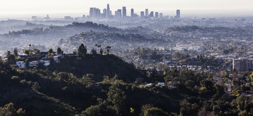
Los Angeles, California trekandshoot / Shutterstock.com
The City of Angels is providing residents with location intelligence where they’re at—on their mobile devices using Google Maps.
The city of Los Angeles wanted to implement crisis mapping for a while, but the opportunity to offer residents such a tool during a potential “Godzilla El Niño” event proved the tipping point.
Within a three- to four-week period the city developed the interactive El Niño Watch map, which was recently shared across multiple municipal sites, including ElNiñoLA.com, providing relevant location-specific intelligence to Angelenos.
Running on Google Maps, the webpage-hosted GIS app works well on mobile devices and uses National Weather Service and U.S. Geological Survey APIs to display real-time weather, public alerts and traffic.
“Too often government just kind of pushes information out there and has the expectation people will be satisfied with it,” Ted Ross, general manager of the Los Angeles Information Technology Agency, told Route Fifty in an interview. “Most Angelenos don’t really know what their city government does for them during storms and what services are available.”

The map’s base layer shows everything inside the L.A. city limits, and developers continue to add layers showing the location of hardware stores, sandbag distribution centers, power outages and weather webcams. Users can simply click on a posted outage to reveal its status and often the estimated time to resolution—no phone call to the Department of Water and Power is necessary.

If a resident’s home lacks heat, they can use the map to look up winter shelters along with locations and times for pickup service.
During heavy rains, delayed trash collection is flagged.
“On a mobile device the map shows where you are, as well as resources in your vicinity, so it’s more than just posting a list out there,” Ross said.
The desktop version has a location search box, while pressing down on a sandbag point on a mobile device launches Google Maps turn-by-turn navigation for driving and public transit. Phone numbers for site locations are also included.
A Meals on Wheels layer is expected soon and if the ongoing rains trigger disruptive mudslides in the city, evacuation centers will be added to the map.
Once the current El Niño storm cycle winds down, Ross envisions the platform evolving to provide mapped information for other localized disasters, disruptions and even special events, like the Special Olympics the city hosted last summer.
Event times, venues and parking information could be mapped as easily as the site of a fallen tree. Electronic volunteer forms could be provided just like service request forms and alert signups.

Crisis mapping is another way for Los Angeles to digitally engage residents, Ross said, building traffic to attract people to government services.
The choice of Google Maps as a platform was a matter of going where users already were so they could do something useful with the information the city provides.
“If we digitally engage them, then we can start to have real 21st century government on the smartphones and tablets they’re used to,” Ross said. “It’s the savings of property, even life ultimately, we’re discussing.”
Dave Nyczepir is a News Editor at Government Executive’s Route Fifty.
NEXT STORY: Michigan Governor Signs Controversial Local Government Bill


