Arkansas’ Popular Highway App Would Be Nothing Without the Cloud

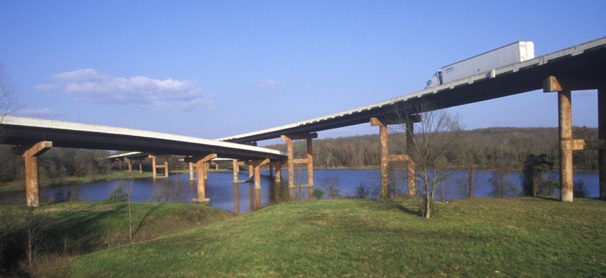
Little Rock, Arkansas Joseph Sohm / Shutterstock.com
With 80 percent of the state’s licensed drivers using IDrive, scalability is a necessity.
When voters in Arkansas approved back-to-back highway financing ballot measures in 2011 and 2012 they, in effect, green-lighted 10 to 15 years of road construction. And all that road work presented challenges to effectively relay important information about the projects and real-time road conditions to drivers in the Natural State.
The Arkansas State Highway and Transportation Department needed an easy way to communicate when and where construction was happening to motorists and, in 2013, built from scratch IDrive Arkansas using open-source products.
“At the same time we realized we don’t have a traffic operations center like other states,” said department spokesman Danny Straessle. “So we said: ‘Wouldn’t it be great if, in the process, it could provide information like a traffic management center provides on the budget, live traffic, winter weather road conditions, camera feeds and a message board.’”
During the first winter with IDrive, roads endured more precipitation than old highway equipment could handle, which led to the addition of a road conditions map layer.
The state gained the ability to relay more information to users, including the type of road conditions and hazards. App use took off after that.
About 80 percent of IDrive users are mobile and the site has seen about 1.8 million unique users since it launched in October 2013. That number encompasses about 80 percent of the state’s licensed drivers, according to Christy Williams, Information Network of Arkansas’ senior marketing manager.
Traffic information on the IDrive site is third party, sourced through Google. Other Google Maps features, such as county road markers and information on historical sites, were stripped to keep IDrive “strictly a highway app,” Straessle said.
Fading everything outside Arkansas’ borders was done so users don’t get lost on any given layer, and while geolocation isn’t possible users can find where they are on their mobile device with x- and y-axes.
The state has no desire right now to capture any data from users, Straessle said.
None of this would be possible without the cloud because the department’s network isn’t robust enough to handle site traffic at peak hours and during holidays and major weather events.
“There are huge spikes in traffic when there’s a winter weather event with several hundred-thousand people coming onto the site,” said Bob Sanders, INA’s general manager. “Amazon Web Services enables us to scale way up and way down to enable use throughout the year.”
Peak usage begins as early as 3 a.m., around when hospital workers and first responders make their shift changes, and many residents check IDrive before school starts.
Operators have a backend system for updating the platform using their mobile devices to log in, and AWS simplifies the process of, say, pushing out new information on snowplow activity.
Arkansas doesn’t have to develop every layer from the ground up.
“News organizations, they’ve got this IDrive site up and going over road conditions during weather events,” said Karl Hills, INA’s technology director. “When something becomes that important to citizens, we want to make sure it’s always available.”
For that reason the site is maintained at multiple data centers on both coasts, in case of a large power outage.
IDrive pulls data from several sources, including Weather Underground and the National Oceanic and Atmospheric Administration’s publicly available datasets.
AHTD has had to swap out pieces from different vendors to offer a variety of layers showing current weather warnings and advisories plus locations of rest areas, weight-restricted bridges and commuter park-and-ride lots.
The default layer is the latest to be populated, handy during snowstorms, and users can build custom layers as well.
User feedback is important to AHTD’s updating of IDrive, so all district offices are listed and a questions feature exists.
Upon request, a bicycle suitability layer was added showing highways open to bicyclists, and other requests from users included links to traffic cameras, a message board and a native app, rather than the current hybrid.
Tipsters can anonymously report littering and residents can also apply to adopt a stretch of highway through IDrive.
Feedback also encompasses the site itself with users able to report problems with the iOS or Android versions of the app and site navigation.
“We get great feedback from the users,” Straessle said.
Dave Nyczepir is a News Editor at Government Executive’s Route Fifty.
NEXT STORY: Gigabit Internet comes to KC public housing


