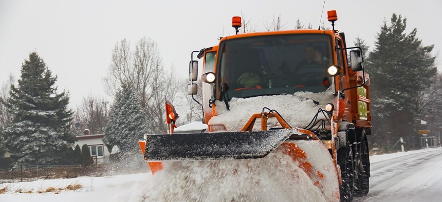
How Local Snow Removal Efforts Could Benefit From Open-Source Software

MeineUrlaubswelt / Shutterstock.com

Connecting state and local government leaders
If you code it, apps will come.
When it comes to snow removal, state and local governments have taken steps to make their road-clearing efforts more transparent and accessible for constituents.
Pittsburgh deployed sensors to its snow plows last winter. In Iowa, transportation officials made snowplow data available in 2014.
In Maryland, county governments are in the driver’s seat when it comes to providing real-time storm response updates. So when residents in Prince George’s County, just outside Washington, D.C., were snowed in during the recent massive East Coast winter storm, many discovered problems with their local plow tracking map.
What can be done to ensure the delivery of important information during such a disruptive weather event? Investments in better data IT platforms are a good place start.
Open-source software can be used to improve snow removal efforts and empower residents, not leave them in the dark, while holding politicians accountable for implementing policy.
That’s according to Jim Tyrrell, principal JBoss solutions architect for the public sector at Red Hat.
“Knowing what’s going on around you, some situational awareness, can make getting trapped a little more bearable,” Tyrrell said in an interview. “The implementation of many algorithms allows you to solve NP-complete problems, which are nearly impossible to solve by through brute force.”
Red Hat, a Raleigh, North Carolina-based open-source solutions company, aims to fix big infrastructure problems with community-created analytics software.
Part of Red Hat’s JBoss Business Rules Management System (BRMS) is the OptaPlanner, which could be used by state and local governments to map out snowplow locations and optimally assign routes. In the nation’s capital during the recent storm, the District of Columbia’s snow removal operations were criticized for preferential treatment of some neighborhoods over others. It’s a common complaint in cities across the country when it comes to the prioritization of snow removal.
But using data-driven software platforms, transportation and public works agencies can ensure fairness by specifying major highways and roads to be plowed before secondary streets chosen by algorithms.
Keeping pace with the Internet of Things, real-time sensor data can also be input into automated systems for gathering information on snowfall and how much salt and snow treatment chemicals public works crews are using on roadways.
Tyrrell predicts that information about ice conditions on bridges will soon be relayed directly to self-driving vehicles, and countless applications will evolve around predictive analytics of snow events and preparedness.
“The equipment and trucks can’t keep up with it, so state and local governments need to have a plan of attack during the big snow events,” he said. Residents need a plan of attack, too, when it comes to dealing with snow.
But the information must be made accessible first.
“Once you make the code available, it’s always amazing to see the uses people come up with,” Tyrrell said.
Dave Nyczepir is a News Editor for Government Executive’s Route Fifty.

NEXT STORY: Colorado’s New Local Control Oil and Gas Rules Fuel Ballot Battle


