This County’s App Is Helping Voters Find Polling Places With the Shortest Lines

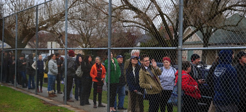
A long line at a Democratic caucus site in Salt Lake City, Utah John Locher / AP Photo
QR code-enabled, its simplicity is easy for other counties to replicate.
By modifying code used to map the nearest pizza place, Collin County, Texas, can now route voters to polling locations with the shortest lines.
Long lines have states like Maine thinking about restoring its primary, and Collin County, located near Dallas, uses vote centers, allowing voters to cast ballots at any of its 63 polling locations in the super precinct on Election Day, on top of early voting to reduce them.
But the county continued to struggle with wait times during the 2010 midterm election, which led to bad press about voting barriers.
“We didn’t do a very good job of getting the word out about this vote center concept, and we didn’t realize how popular that election was going to be,” said Tim Nolan, the county IT Department’s senior applications manager.
So Nolan met with the county’s elections administrator about using geographic information systems—the jurisdiction worked with Redlands, California-based GIS supplier Esri since 1992—to update voters on line waits.
The county had mapped polling locations before, but Nolan had recently gone to a conference where the then-CIO of Manor, Texas, Dustin Haisler extolled the benefits of QR codes. For the 2012 presidential election, Nolan’s team designed a Web-based application that doubled as a self-aware, mobile GIS accessible via QR code.

Users could visit the app's website or scan a code with their mobile device to see where they were in relation to polling places, as well as those locations’ wait times. QR codes were strategically placed in traditionally high-volume voting locations.
Lines remained long, but the county couldn’t simply tell people to vote down the road, which could’ve been construed as sending people away. Instead, line waits were updated on the app site’s dashboard hourly.

Poll workers would ask people how long it took them to vote and submit that information via an electronic pollbook. Polling places on Esri’s map would appear red if the wait was longer than 40 minutes, yellow if between 20 and 40 minutes and green under 20.
With another big federal election in 2014, Nolan’s crew wanted to create an even better customer experience. Esri offers basic routing code templates local governments can use, but none for finding the closest, unassigned polling place.
That’s where the modified pizza place code came in, and more than 26,000 voters created routes with the app on Esri’s cloud that election.

A replacement for the county’s retired elections administrator was hired in January, and he wanted to use the March 1 Texas primary to get a feel for the apps success, Nolan said.
“We had such a high turnout during early voting, we didn’t expect Election Day to be very busy,” he said. “It was our highest turnout ever.”
The county website saw 283,723 hits—188,797, or 67 percent, on election-related pages. That represented an 102 percent increase from Election Day in November 2014, and around 57,000 routes were created.

But long lines persisted, leading to an after-action meeting where the elections administrator decided the county’s app needed more advertising, Nolan said.
Banners letting voters know they can vote anywhere in the super district will be prolific, and the county is considering giant, drive-by QR codes that voters can scan to know to keep driving if the polling location they’re at is too crowded. Maps detailing the more heavily trafficked polling places will be distributed to voters before the general election.
“We may not improve the app so much because the app is simple. Get a route with the touch of a finger,” Nolan said. “It’s not spectacular. It’s not millions of lines of code, but the beauty is in its simplicity.”
The only feedback the county gets on the app comes via website traffic reports, so officials can’t differentiate between app site users and mobile users.
But the app is device agnostic, and most counties have a webpage where they can at least display a dashboard of polling place line waits.
“Keep it simple. Don’t try to overthink this thing. You don’t have to hire an army of consultants and lawyers,” Nolan said. “In my opinion, I’m a geographer, and this is a geography problem.”
Dave Nyczepir is a News Editor at Government Executive’s Route Fifty.
NEXT STORY: N.C. vs. N.Y.: McCrory Tussles With Cuomo Over Transgender Bathroom Law Travel Ban


