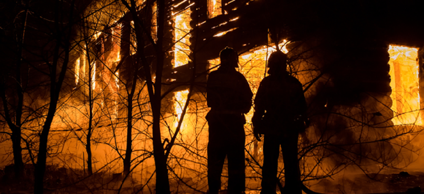
Low-cost beacon solution keeps tabs on firefighters

The Firefighter Accountability and Proximity system locates firefighters with an Android app that measures the relative distance between the beacons they each wear.
For professional firefighters, running into a burning building while everyone else is trying to get out is just another day at the office. For small volunteer forces, however, fire fighting can be especially dangerous because they often cannot afford the technology their big-city counterparts use to track each other in case they need help.
But a low-cost tool, developed by the Department of Homeland Security’s Science and Technology Directorate and its commercial partner TRX Systems, can help rural or small fire departments keep track of their firefighters inside burning buildings.
The Firefighter Accountability and Proximity system (FFAP) uses beacons that send alerts when a firefighter is down, pinpointing the location by measuring the relative distance and elevation between beacons.
“The system is designed for small and volunteer fire departments in rural areas,” Christine Lee, the responder technology program manager, told GCN. “Small and volunteer fire departments don’t have the funding to purchase new equipment and tools; so what we wanted to do was develop something very cost effective that they could use with their teams to fight fires.”
Lee added that when deployed, the system will cost fire departments about $300.
The FFAP beacon automatically turns on when it detects motion. It sends out an alarm if its wearer doesn’t move or if the firefighter carrying the beacon manually sends an alert. The beacons are tracked through an Android smartphone application.
“Using the smartphone application, the team leader can see where every beacon is located,” with firefighters that are in distress displayed in red, Lee said.
The system uses the time-of-flight method in which the beacons send signals back and forth to each other. The time that the signal takes to travel is used to calculate the distance between the beacons.
According to Lee, the beacon gives the position of firefighters, even if they're behind a wall or object. In addition, multiple beacons can be tracked at the same time, improving situational awareness for all team members.
Lee said that the beacons work better in this situation than geospatial positioning systems. “One of the reasons why we didn’t use GPS is because depending where you are in a building or what kind of building it is, you may not be able to get a signal,” Lee said.
Fire departments with self-contained breathing apparatuses that use integrated wireless (Bluetooth, RFID, near field communications and long-range radios) can use an FFAP system that connects to command management software instead of using the Android application.
The DHS First Responders Group (FRG), alongside the National Urban Security Technology Laboratory and the Herman Volunteer Fire Company in Butler County, Pa., conducted an operational field assessment of the FFAP in late January.
Based on the positive reviews from the Herman Fire Company, Lee said the FRG plans on giving 100 units to other departments across the country for additional feedback before they upgrade the product and put it on the market.
NEXT STORY: Data sharing critical to law enforcement


