L.A. River Restoration Gets Boost With New Data Resource

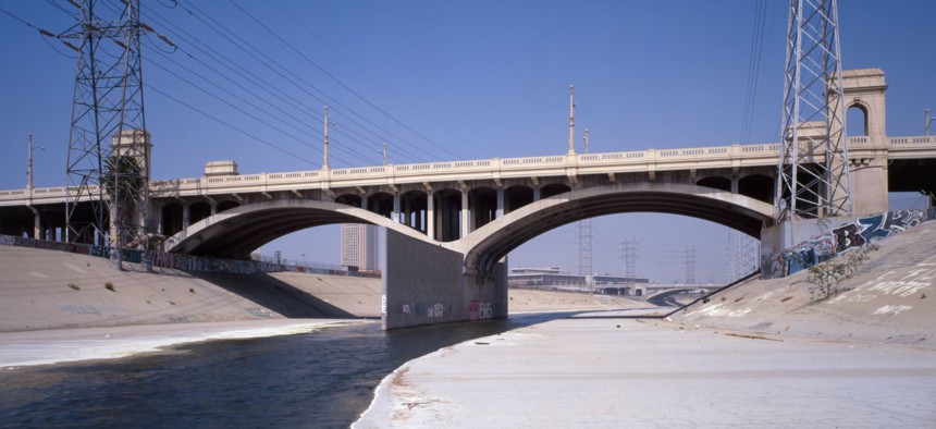
First Street crosses the Los Angeles River near downtown Los Angeles. Photo by Tavo Olmos via Library of Congress Prints and Photographs Division
A nonprofit releases a new comprehensive aid to planning many aspects of complex restoration effort.
The complex task of revitalizing the Los Angeles River just became a bit easier, thanks to release of a new planning aid assembled by the nonprofit organization whose mission is to help restore the desultory, concrete-lined channel that drains the L.A. basin.
The online resource was unveiled yesterday by the Los Angeles River Revitalization Corporation, which was established by the city’s 2007 Master Plan for the river and charged with building enthusiasm for and implementing aspects of the river restoration effort.
The river is 51 miles long, but only 32 miles lie within the city of Los Angeles. River LA, as the nonprofit is called, works to encourage projects along the entire length of the river, collaborating with more than a score of jurisdictions and dozens of groups interested in the fate of the waterway. River LA wants to promote a broad vision of how communities might develop along a restored river. Notably, the group recruited renowned L.A.-based architect Frank Gehry, who agreed to have his firm produce a pro bono design that likely will build excitement about the endeavor.
But it seems clear that restoration of the river will be comprised of many localized efforts in Los Angeles and neighboring jurisdictions rather than one comprehensive effort—and that funding for the restoration will have to come from many different sources. The funding challenge was explored in a Route Fifty article published last month.
The complexity of the task is underlined by the multidimensional approach of the new LA River Index.
“This is the first time that data, reports and findings relative to the river’s past, present and future along the river’s entirety has been centralized in one location for the public to access,” River LA Executive Director Omar Brownson said in a statement announcing the index. He noted that the index “includes data from existing studies and master plans, and incorporates input from three community listening sessions as well as the team’s own research along all 51 miles.”
The index is organized in nine dimensions:
- Flood Risk Management: Expand the LA River from a single-purpose flood channel to multi-functional waterway.
- Water Recharge: Capture up to 28.6 billion gallons of water per year to replenish our aquifers.
- Water Quality: Improve river water quality to positively impact our natural ecosystem.
- Greenhouse Gases: Reduce greenhouse gases equivalent to 660 million miles driven per year to cut our carbon footprint.
- Ecology & Habitat: Enhance and connect the region’s rich natural biodiversity.
- Open Space & Parks: Create potential for 2300 acres of accessible and equitably distributed open space within a mile of the river.
- Public Health and Social Equity: Promote healthier, more socially connected communities.
- Transportation: Unite our region through improved mobility and access to public transportation.
- Programming: Invigorate our communities with shared access to the arts, culture, education and recreation.
PREVIOUSLY on Route Fifty:
Timothy B. Clark is Editor at Large at Government Executive’s Route Fifty.
NEXT STORY: Ky. Medicaid Plan ‘Creates a Lot of Barriers,’ Critics Say; Chicago’s ‘Towing Bill of Rights’


