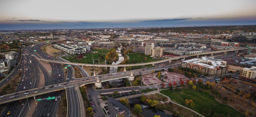
Denver’s Multi-Pronged Approach to Reducing Traffic Fatalities

Denver, Colorado

Connecting state and local government leaders
The city’s Vision Zero Action Plan involves a map-based survey, data analysis and rapid response to identify “communities of concern” within a broader “high injury network.”
Data analysis from crashes and emergency responses is helping Denver map its “high injury network” ahead of the launch of the city’s Vision Zero Action Plan report this summer.
Vision Zero is a traffic safety initiative that started in Sweden and has brought transportation planners and public safety officials together to set specific goals and strategies to end traffic fatalities and injuries.
Since 2014, 18 U.S. cities have joined Vision Zero—Denver in February of last year—and that number is likely to increase with a recent Governors Highway Safety Association report finding that in the U.S., 28,642 pedestrians were killed by cars between 2010 and 2015. That’s a 25 percent increase, compared to only a 6 percent increase in traffic fatalities.
“We’ve been analyzing, probably for the last six months, thousands of crash records looking for trends and spatial information,” Rachael Bronson, Denver Public Works conservation planner, told Route Fifty in a phone interview. “Crashes only tell us one part of the story because many crashes go unreported.”
In the Mile High City, the endeavor has included number of agencies, including public safety and public works, plus $750,000 in funding in 2016 for marketing and communications, community engagement, preliminary street redesigns and the action plan.
Analyzing existing road conditions and Denver’s single EMS system with several departments had never been done before and yielded some interesting findings.

Fatal crashes in the city, and in particular those involving pedestrians, were at a four-year high in 2016. Bicycle- and pedestrian-involved crashes made up almost half of crashes, even though cars dominate Denver’s roads.

The odds of a crash involving a bicycle, motorcycle or pedestrian leading to injury or a fatality were also greater.
By cluster mapping crash and EMS data, Denver began to get a sense of where its “communities of concern”—those at greatest risk—are within a preliminary high injury network along with their demographics and safety concerns.
The next step was to, within five days of a crash, send a multidisciplinary team to the location accompanied by the police detective on the case to assess the road conditions that may have contributed to the incident.
“There’s tremendous value in having the different experts there,” Bronson said. “We look for immediate actions we can take.”
That could mean placement of new signage, the removal of a hazardous tree or the installation or reconfiguration of traffic signals.
Denver is also supplementing the city’s work with a crowd-sourced map using Redlands, California-based GIS company Esri’s Survey123 for ArcGIS.
The survey, launched in March, allows residents to use a map of Denver to highlight locations of concern or look more closely at specific traffic engineering features on roadways and say what they like or hate about them.
The survey will be live until the end of April.

“We haven’t dived really deep into the data yet, but I think it’s much more localized and community-based,” said Michele Shimomura, Department of Environmental Health Community Health program manager. “People think about their own neighborhood or what’s a block away because that’s important to them.”
Maybe they’re worried about their kids walking to school, so they flag an overly long crosswalk or long wait at a “don’t walk” light.
Infrastructure projects are already underway addressing pedestrian-involved crashes with about 10 intersections in seven seven different areas being looked at, Bronson said.
Some fixes are preliminary, or “pilot,” in nature like adding flexible delineators. Long term, such areas will be addressed in the program budget.
Denver’s map-based survey has received more than 1,860 pins with three weeks left—pleasing city officials.
The city is also talking with advocacy groups like Walk Denver and Bike Denver, AAA, the Colorado Department of Transportation, and the national Vision Zero coalition.
“We’re in the middle of our action plan,” Shimomura said. “We’re getting feedback from a lot of sources.”
Dave Nyczepir is a News Editor at Government Executive’s Route Fifty and is based in Washington, D.C.

NEXT STORY: Getting the Mentally Ill Out of Jails


