Visualizing Baltimore’s Food Deserts

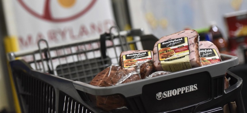
A portion of Smithfield's 25,000 pound protein donation is presented at Maryland Food Bank in Baltimore in December. Steve Ruark / AP Photo
By identifying where food access is poor, government agencies and nonprofits can better allocate resources.
Planning effective public health programs and services requires that municipalities have an institutional knowledge of local food production and access.
Almost 25 percent of the city of Baltimore’s population lives in neighborhoods qualifying as food deserts, defined as areas more than 1/4 mile from a supermarket, where the median household income is at or below 185 percent of the federal poverty level, 30 percent of households lack vehicles and the average healthy food availability index for all food stores is low.
Mapping the disparity, as the Johns Hopkins Center for a Livable Future has done with its Maryland Food System Map project, has helped the Baltimore Food Policy Initiative use data to improve access and health outcomes within the city’s food deserts.
“To be able to visualize that data and tell what’s happening at the local level with the food system is something cities can use,” said Caitlin Fisher, the center’s Food Communities and Public Health program officer, by phone. “They can . . . inform local decisionmaking.”

The interactive, cloud-based, open-data mapping platform, food system first launched in 2012 and plots production, distribution, processing and consumption within Maryland’s food system across 175 data layers. Recently, the Johns Hopkins team updated map functionality.
Much of the data comes from federal, state and local databases like the those operated by Maryland’s departments of Environment and Health and Mental Hygiene and the U.S. Department of Agriculture’s census.
A data layer of food banks comes from nonprofit Maryland Food Bank, while one of farms selling locally was compiled by the project from multiple sources.
Processing outside Maryland isn’t accounted for, but in-state warehouses and the food they handle is when the information is available.
Updated in the last year, the map now has filtering capabilities based on keyword searches, and the downloading of data sets has been streamlined using Redlands, California-based GIS company Esri’s ArcGIS Open Data platform.
The map’s 10,000 users consist of nonprofits, researchers, students and, of course, government officials interested in the food system. Baltimore Orchard Project uses the tool to site future projects in food deserts.
For now, the center’s food system map work will be limited to Maryland.
“I think there is definitely space for people from other states and jurisdictions to take a look at what kinds of data are available and how they can collect that data for their state or city,” Fisher said.
Dave Nyczepir is a News Editor at Government Executive’s Route Fifty and is based in Washington, D.C.
NEXT STORY: Scrapping ‘Essential Benefits’ May Be Biggest Health Care Change


