This Small California District Discovered Earthquake Risks It Never Knew It Had

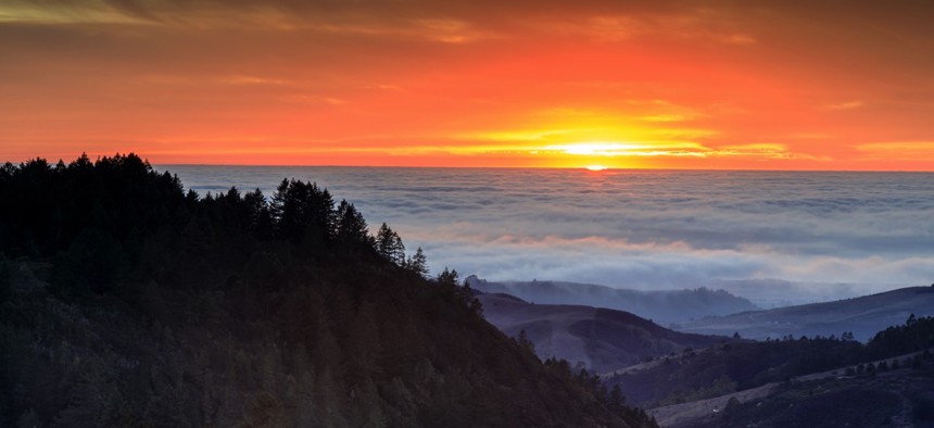
The Purisima Creek Redwoods Open Space Preserve near Woodside, California
One Concern is helping the Woodside Fire Protection District shore up disaster resilience with hazard modeling.
The Woodside Fire Protection District had no idea the road connecting the two towns it serves would liquefy during a serious earthquake, at least, not before the jurisdiction started hazard modeling.
Portola Road links Woodside, California with the town of Portola Valley—a critical route for the Bay Area district’s two fire trucks during emergencies. But part of the road is sandwiched between two small bodies of water.
In a sizeable quake it would be useless.
“It just basically turns into water,” Fire Chief Dan Ghiorso told Route Fifty by phone.
Earthquake simulations with One Concern showed the district could probably use Interstate 280 to move between towns, but the quickest route was revealed to be through the Jasper Ridge Biological Preserve.
Ghiorso first saw the seismic platform demoed at a San Mateo County Emergency Managers Association meeting more than two years ago, and since then it’s confirmed the problem areas he’d already identified, in the event of a quake, and identified new ones.
What began as a Stanford University PhD project has merged hazard modeling with machine learning and artificial intelligence to help cities not just respond to but prepare for natural disasters and approach resilience holistically.
“Disaster response is basically random,” said Ahmad Wani, One Concern cofounder and CEO, in a phone interview. “They don't know who they should help or when they can help.”
Wani remembers the Kashmir earthquake in 2005 that killed about 75,000 people, and in August 2014, when he returned to India to get engaged, flooding had his family marooned on the roof for seven days waiting for emergency response.
In the event of an earthquake, Woodside would have traditionally sent people out into the field to perform window surveys assessing problems and damage to determine who needed immediate help. Now that can be done from the safety of an office.
Simulations also flagged older buildings at Cañada College in need of retrofitting that is already underway and slated to wrap up in the next couple years.
“If we can prevent something or mitigate something prior to it happening, we’ll be so much better off,” Ghiorso said.
Outside of emergency operations centers and first responders, fire departments being the flagship, Wani has found operational departments like health and transportation—those that tend to take up relief and recovery roles—using his platform as well. Together they create a “resilience ecosystem” that makes for better preparedness, Wani said.
Agencies test out realistic scenarios using the seismic module to see what will happen to infrastructure and buildings. The more they simulate, the smarter the algorithm gets to the point where during a live event users will receive recommendations based on real-time situations.
One Concern also enables governments to make risk-informed budgeting decisions about whether to buy a new fire truck or reroute piping to make area hospitals more resilient. Jurisdictions choose the metrics they wish to track, include San Francisco and Los Angeles—cities among One Concern’s first six clients.
Wani has plans to scale the seismic platform up and down the West Coast by onboarding relevant built environment, natural environment and live datasets. Racial equity data is included, to make sure disaster response is carried out fairly
Resilience engineers are embedded with new client departments to onboard them onto the platform and begin involving their communities in the creation of action plans.
A wildfire module is in the pilot stage, Wani said, with a flood module slated for release later this year.
“We are in a terrible wildland-urban interface area,” Ghiorso said. “If you look at our jurisdiction you’re going, ‘It’s gonna burn.’”
The fire chief doesn’t want to put his personnel in front of a wildfire without knowing the speed it’s coming at them. While they’re trained to consider weather patterns, fuel types and fire movement, the science behind One Concern could keep them and the public out of harm’s way entirely by adding time of day, temperature and wind factors to its algorithm.
By running a fuel model, the district could identify fuel in a fire’s path in need of removal—eucalyptus overgrowth that feeds flames, for instance.
The district experienced a 50-acre fire last wildfire season, but there was no wind to make it a threat to residents.
“They’re different today than they were 20 years ago,” Ghiorso said. “They’re burning so much hotter, so much faster.”
Ghiorso is also excited for One Concern’s flood module, which estimates rainfall ahead of storms. Normally he has to hire people back when flooding occurs, but soon he’ll be able to deploy the proper level of personnel ahead of storms to divert water.
Whether the emergency is an earthquake, wildfire or flood, the real threats are not the primary effects but second- and third-order effects, Wani said.
Water being cut off from local hospitals during an earthquake is far more devastating than the initial, superficial damage.
“Most of the damage will not be caused, during a reasonably sized earthquake, by a building collapsing,” Wani said. “This is not like Nepal. The buildings are well made.”
Dave Nyczepir is a News Editor at Government Executive’s Route Fifty and is based in Washington, D.C.
NEXT STORY: Colorado gets a leg up on FirstNet deployment


