Lawmakers Push for Program to Improve Urban Flood Hazard Maps

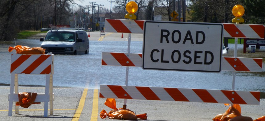
Flooding along River Road outside Chicago during flooding in 2013. Shutterstock
Bipartisan legislation would create a four-year pilot project within the Federal Emergency Management Agency.
WASHINGTON — Cities would gain access to a new grant initiative aimed at improving the way the nation assesses and manages flood risks, under bipartisan legislation congressional lawmakers introduced Wednesday.
The bill would establish a Federal Emergency Management Agency pilot program to help urban areas develop better methods for mapping flood hazards. The program would support other related activities as well. A summary of the bill notes that some urban areas that have recurring floods are outside of regulatory floodplains and not covered by the federally administered National Flood Insurance Program.
Three cities with populations of 50,000 and over would be able to participate in the pilot program each year, for four years, according to the bill summary. It also says the legislation would authorize $1.2 million for fiscal year 2019 and a total of $4.3 million for 2020 through 2022 for grants that could flow to states and local governments.
Information gleaned from the pilot project would be sent to Congress and FEMA to evaluate best practices and to inform FEMA's flood risk mapping program.
Sen. Dick Durbin, an Illinois Democrat, is the lead sponsor of the Senate bill, dubbed the Flood Mapping Modernization and Homeowner Empowerment Pilot Program Act.
"We don’t have much data on the flood risk from the kind of weather that turns our cities streets, businesses, and homes into a flooded mess, let alone the information we need on how we might better prepare for these catastrophes in the future," he said in a statement.
U.S. Rep. Mike Quigley, an Illinois Democrat, is the lead sponsor on the House measure.
Sen. Marco Rubio, a Florida Republican who is a cosponsor on the Senate bill, told county officials from his state visiting here Wednesday he did not think the bill would encounter resistance. But he said the process of moving it could be tricky and that the easiest path would be to embed it into a must-pass package of legislation.
"It helps in everything from, you know, evacuation zones and not needing to unnecessarily evacuate," Rubio said as he discussed the bill and flood maps. "It also helps target where we want to do the improvements in the future if we have infrastructure projects."
"And I think, frankly, it could lower some people's bills if we could get more accurate data," he added.
Flood risk maps are a key factor in determining requirements and rates for flood insurance, with property owners in riskier zones on the maps typically paying higher premiums.
Bill Lucia is a Senior Reporter for Government Executive's Route Fifty and is based in Washington, D.C.
NEXT STORY: A Legal Quirk Means You Can Be Dead in New York But Alive in New Jersey


