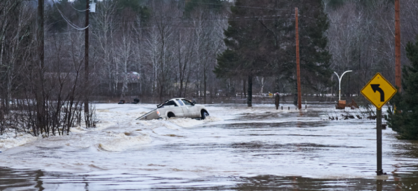
Low-cost sensors can improve flood management

Through the Flood Awareness Apex program, communities are experimenting with low-cost sensors for tracking floods.
When it comes to flood management, many cities depend on sensors to provide real-time insights that can give officials some warning so they can close roads and mitigate other flood-related risks. The Department of Homeland Security’s Flood Awareness Apex program is working with the Charlotte-Mecklenburg Storm Water Services and the Kentucky Division of Water to install low-cost flood sensors as part of scalable network to track and monitor water conditions.
Over the next year, DHS S&T will be installing 75 sensors at 25 locations to monitor flooding in both Mecklenburg County and Elizabethtown, Ky. The low-cost devices will give the communities an alternative to the sensors provided by U.S. Geological Survey, which are expensive to install and engineer for specific needs. The Apex program is working with Progeny Systems' internet-of-things sensors that can monitor, detect and report situational data to operations centers; Physical Optics Corp.'s wireless mesh digital radio network that connects the submergible sensors; and Evigia Systems' sensor analytics solutions.
As a utility provider, Charlotte-Mecklenburg Storm Water Services has a relatively mature flood sensor network that gives it real-time insights from a network of stream and rain gauges purchased under a cooperative agreement with USGS. It supports the Flood Information and Notification System (FINS), which sends out approximately 70 alerts a year based on modeling from flood maps.
The antennas on the FINS sensors send alerts to repeaters that transmit the information to the Charlotte-Mecklenburg Storm Water Services. The sensor data is analyzed and, if the flooding reaches certain thresholds, notifications are sent to responders like the Charlotte Fire Department.
“We are able to anticipate [problems] based on the amount of rain that we get,” Tim Trautman, program manager of the Charlotte-Mecklenburg Storm Water Services Engineering and Mitigation Program, told GCN. “The system that we’ve built with the [USGS] gauges needs to work in real time, so we can get the right people out to respond to road closures.”
In the first year of Charlotte-Mecklenburg Storm Water Services project, officials want to see how the low-cost sensors compare to the USGS stream and rain gauges monitoring the same locations. The following year, depending on the accuracy of the new sensors, the utility will move the sensors to additional locations such as ditches or underneath bridges. The third year of the program will be devoted to inundation mapping and experimentation with different forms of communication, such as sending phone alerts to drivers who are traveling near flooded areas.
“We want to be able to produce real-time maps where you overlay buildings and other data with department resources such as boats, people and manpower,” Trautman said. “We’re hoping that if we double the number of sensors, then we will have more data on creek levels and be able to produce real-time inundation mapping in a robust way.”
The Kentucky Division of Water decided to specifically focus on a pilot in Elizabethtown because of its interest in exploring what happens when a dam fails. Elizabethtown has piezometers that track pressure exerted on the Freeman Lake Dam that were installed when the reservoir was built 17 years ago.
“We are specifically looking into dam failure modes and have prioritized them through an assessment of the different types of warning systems,” said Carey Johnson, environmental scientist consultant in the Kentucky Division of Water.
The low-cost sensors could measure the volume and velocity of the water that exists in current systems, which serves as a good indication of when failures such as overtopping and erosion could occur.
Through the Apex program the agencies can collaborate and share insights. They are also working with the Lower Colorado River Authority in Austin, Texas, which started partnering with DHS in 2016 on its flood sensor program.


