Last Year Was a Record-Breaking Year for High-Tide Flooding. 2019 Probably Will Be, Too.

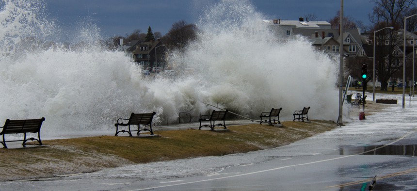
High-tide flooding, also referred to as "nuisance" flooding, occurs during high tide events, even in the absence of storms. Shutterstock

Connecting state and local government leaders
The East Coast suffered most from high-tide flooding, which can occur even on calm, sunny days, according to new data from the federal government.
Coastal communities across the country saw increased high-tide flooding last year and will likely see more this year, thanks to rising sea levels due to climate change and an active El Nino weather pattern, according to a new report from the National Oceanic and Atmospheric Administration.
“Coastal residents are increasingly wading through ankle deep water to get to their cars, driving longer routes to avoid flooded roads and seeing crucial infrastructure like septic tanks and stormwater systems impacted by floods,” says the report, which details high-tide flooding in 2018 and provides an outlook for 2019. (The report focuses on meteorological years, which run from May to April.)
High-tide flooding, also referred to as “nuisance” flooding, is an inundation of water on the coast at high tide, when water levels measured at 98 NOAA tide gauges exceed heights associated with minor impacts. It can occur even on calm, sunny days, flooding shorelines, streets and basements and affecting tourism and infrastructure, including septic and stormwater systems.
According to NOAA data, the national annual frequency of high-tide flooding reached five days in 2018, tying the record set in 2015. All but three locations included in the report met or exceeded flood predictions in last year’s report, and scientists identified 40 locations with accelerating flood trends, most of them on the east coast. Those trends suggest that “coastal impacts will soon become chronic rather than sporadic,” the report says.
“In essence, the future is already here in terms of sea level rise impacts,” said William Sweet, the report’s lead author and an oceanographer with NOAA’s Center for Operational Oceanographic Products and Services. “The current trajectory suggests a floodier future.”
The Northeast Atlantic coast experienced the most flooding from May 2018 to April 2019, the result of rising water levels combined with significant storms and heavy rainfall. Locations along the eastern seaboard broke or tied their flood-day records last year, including 22 days of flooding in Washington, D.C.; 14 in Wilmington, N.C. and 12 in Baltimore and Annapolis.
Those trends are likely to continue. Locations across the Northeast can expect a 140 percent increase in flood days throughout 2019 compared to what was typical in 2000. Across the country, high-tide flooding could average seven to 15 days per year by 2030 and 25 to 75 days per year by 2050. Rates will be higher in communities along the East and Gulf coasts, Sweet said.
“To put that in perspective, by the time any 30-year mortgage is paid off, the New York City region will experience somewhere between 55 and 125 days of high-tide flooding on average,” he said. “Norfolk, Virginia had 10 days last year and is likely to have 65 to 170 days per year by 2050. The Galveston/Houston area had 13 days and is likely to have 100 to 215 days per year on average.”
The impacts are already tangible, Sweet continued. Last year in Annapolis, rising water levels reduced the number of available parking spaces and closed stores, while septic tank systems were degraded by water intrusion in Florida.
“We cannot wait to act,” said Nicole LeBouef, acting director of NOAA’s Ocean Service. “This issue gets only more urgent and complex with each passing day.”
Kate Elizabeth Queram is a Staff Correspondent for Route Fifty and is based in Washington, D.C.

NEXT STORY: With ACA’s Future In Peril, California Reins In Rising Health Insurance Premiums


