Planning Transportation Projects Using 'Ultrasound for Roads'

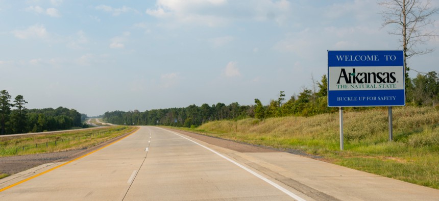
The technology was used on a project along Interstate 40, helping officials understand why pavement continued to crack after initial repairs. Shutterstock
A research partnership between the University of Arkansas and the state's Department of Transportation uses seismic imaging to help officials visualize the earth beneath the ground.
When transportation officials consider a construction project, they typically drill into the ground to determine the composition of the earth beneath the work site. The information gleaned from those tests helps determine the design or repair requirements, but it’s an imperfect science, as the results can contain information gaps due to differing conditions between drilling locations—even if they’re just feet apart.
In Arkansas, officials address that problem by using non-invasive seismic imaging—a so-called “ultrasound for roads” that uses existing technology to help highway planners more accurately map the subsurface. The project, a research partnership between the Arkansas Department of Transportation (ARDOT) and the University of Arkansas, aims to help road projects stay on schedule and on budget by providing detailed information without the need for exploratory drilling.
The partnership allows officials to “evaluate the potential of different geophysical testing methods and their applications in geotechnical investigation,” said Elisha Wright-Kehner, an ARDOT staff research engineer. “Results from this project are valuable to ARDOT engineers as well as other DOTs and the (Federal Highway Administration) as the methods used become more common.”
The research team experimented with many different testing methods to determine which would work best in Arkansas, said Clint Wood, an assistant professor of civil engineering at the University of Arkansas.
“Using some of those, we’re able to map what the subsurface looks like and provide a lot of information to the designers or contractors or whoever is trying to come up with a solution to a problem,” he said.
The content and layout of the subsurface—or the layers of earth directly under a work site—can greatly affect the cost and scope of a transportation project, making it crucial information for planners, Wood said.
“Things that impact the subsurface are the stiffness of the bedrock and the soil. A lot of that comes into how hard it’s going to be to removed,” he said. “Arkansas has a lot of mountainous areas, and if we’re building a road through one of those areas we may have to cut down to 100 feet. If we’re cutting through rock or soil, that makes a big difference on the cost of the project and how contractors bid the project.”
Some traditional imaging techniques, including ground-penetrating radar, don’t work particularly well in Arkansas, where much of the earth is clay soil that’s difficult for electromagnetic waves to penetrate. Wood and his team work around those problems by using seismic imaging, sending stress waves into the ground and measuring their response at the surface. Researchers then analyze those results to construct a map of the subsurface that gives ARDOT workers detailed information about what's beneath the ground.
“The more difference there is between the layers—hard versus soft—the easier it is to pick up on,” Wood said. “We can even figure out where water is under the surface.”

Much of the technology used in the project has existed for years but was used primarily for other things, including earthquake engineering projects. Deploying it in the transportation sector is new, Wood said, and allows researchers to compile comprehensive data that drilling may miss.
For example, on a recent project in the town of Ozark along Interstate 40—a heavy trucking corridor—officials had drilled holes to help determine why a slope was shifting, causing the pavement to crack. The drilling indicated that the bedrock was relatively uniform, but the pavement continued to crack after the slope was initially repaired. The department asked Wood’s team to investigate.
“At the bottom of the slope, away from where they’d drilled, we identified undulations in the bedrock—almost like bowls forming,” he said. “We think it’s trapped groundwater coming off the slope that ultimately saturates the clay there, which softens it and makes it less able to hold up the slope. They did not observe that in their drilling results.”
ARDOT officials took the information to contractors to discuss ways to fix the problem. Options include reinforcing the slope or removing the water, targeted solutions that wouldn’t have been possible without the seismic images of the subsurface.
“We’ve worked on other projects, like one in Little Rock where we did mapping and pretty much found the bedrock was consistent. There weren’t really any surprises,” Wood said. “On this project, it was very interesting because we found things that people didn’t know beforehand and didn’t expect. And that’s interesting, to find things that people aren’t expecting.”
The team also did “extensive testing” for the future Hot Springs Bypass project, “which traverses some of the most unique geology in the United States,” Wright-Kehner said. “Information gathered will be available to contractors pre-bid. We believe the information will significantly reduce the contractor’s risk when bidding excavation methods therefore providing a cost savings to the department and the state.”
ARDOT and university partnership continues through June 2020, after which the agency is expected to continue to utilize the technology as needed.
“The idea is they’ll start implementing the use of these methods for future projects, either for repairs or new work,” Wood said.
Kate Elizabeth Queram is a Staff Correspondent for Route Fifty and is based in Washington, D.C.
NEXT STORY: The Rise and Fall of Thinking Big About Cities


