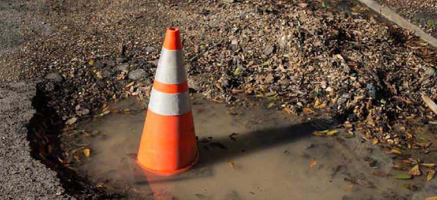
Memphis enlists AI for pothole repairs

An automated, scalable system that detects potholes and alerts 311 operators to them so they can quickly dispatch repair crews is saving the city up to $20,000 a year in claim costs for damage from potholes.
To address its pothole problem, Memphis is using artificial intelligence and machine learning to analyze video from cameras mounted on city buses.
The city teamed with Google Cloud and SpringML to build an automated, scalable system that could detect potholes and alert 311 operators to them so they could quickly dispatch repair crews. Last year, Memphis fixed about 63,000 potholes, only 20% of which the public reported. About 32,000 work hours are spent repairing potholes each year, making quickly spotting them a priority of the Memphis Public Works Division.
“Memphis is a large city, has a lot of infrastructure. We have over 6,800 miles of streets,” said Robert Knecht, division director. Although crews do drive around the city looking for pavement problems, “we’re highly dependent on the public to give notices of potholes.”
Six months ago, the city began taking advantage of cameras already mounted on Memphis Area Transit Authority buses and on a few Public Works vehicles. Directed at the street, the cameras record spots that could be potholes.
In setting up the proof-of-concept, the companies trained TensorFlow models for object detection using Google’s preconfigured Deep Learning VM Images on the company’s Compute Engine. SpringML set up a user interface to collect pothole data and automate the 311 ticketing process.
The teams analyzed 30 days of video from a bus-mounted camera and from a high-resolution 360-degree camera on a code enforcement vehicle overlaid with data from 311 reports. The city also imported routes, potholes and paving data in addition to geolocation data from ArcGIS and Google Maps into BigQuery, Google’s cloud data warehouse.
“One of our limitations is that we don’t have enough vehicles with the cameras on them,” Knecht said. “Ideally, the best solution for us would be hire somebody or put a specific camera on a vehicle and have it do nothing but drive our streets. We’ve estimated that you could drive every city street once every month practically – or a little over a month – and obtain the information that we need.”
One benefit of the new system is how it enables the Public Works Division to be proactive, rather than reactive, about pothole repair, Knecht said.
“If you know where your potholes are, you don’t have to search for them. That does make you more efficient,” he said. Plus, when “you know you have more potholes occurring along this street segment, that’s a good indication that that street is deteriorating so you can then consider it as a future resurfacing candidate.”
Memphis is working to apply this same approach to detecting blighted properties. Like potholes, those have traditionally been reported by the public or Public Works employees on their usual rounds. One year, the city did a property snapshot in which it used a volunteer workforce to look at its 244,000 parcels throughout 340 square miles, but that cumbersome, subjective and tremendously time-consuming, Knecht said.
“Memphis has a lot of challenges with blight. There are visual cues that a camera can pick up on as it drives down the street,” such as broken windows, missing windows and doors, and damaged roofs, he said. “The next phase that Google is entering into with SpringML is to develop that blight-detection model utilizing the same machine learning/AI process. It’s a very creative way for cities to obtain necessary information … using cameras and AI and machine learning” rather than depending on the public to report rundown or abandoned properties.
Google and SpringML are working to enable BigQuery to analyze city property records, tax records, 311 reports and third-party survey data to predict where homes are becoming rundown. SpringML created a pilot analysis and developed a user interface to interact with the model’s results.
Together, the systems detect potholes and blighted properties with more than 90% accuracy and save the city up to $20,000 a year in claim costs for damage from potholes.
Looking forward, Knecht said the city could use the systems for other problems such as sidewalk repairs.
“Right now, you’re teaching it to look at the streets and to look at specific things that are happening within … the asphalt pavement surface,” he said, but “there are endless possibilities.”


