Author Archive
Suzette Lohmeyer
Suzette Lohmeyer is a freelance writer based in Arlington, Va.
Infrastructure
California’s first responders locate callers faster, more accurately
A cloud-powered, web-based mapping tool harnesses data from Apple and Google to track people within meters of their location.
- By Suzette Lohmeyer
Digital Government
User feedback powers HMDA's accessible data tool
To make the massive Home Mortgage Disclosure Act data more accessible to the public, the Consumer Financial Protection Bureau focused on user feedback as it built a browser that filtered data from over 35 million records.
- By Suzette Lohmeyer
Infrastructure
Fast, accurate disaster recovery delivers access to critical services
Oregon's disaster recovery-as-a-service system ensures eligibility information for critical health and human service programs is accessible in the event of an outage.
- By Suzette Lohmeyer
Digital Government
When overdue tax notices are easy to understand, they get paid
The Pennsylvania Department of Revenue leveraged behavior science to get taxpayers’ attention and encourage payment with creatively designed notices.
- By Suzette Lohmeyer
Infrastructure
Connect2LACity changes a city’s attitudes about working from home
Within a few weeks, 18,000 city employees had secure access to the city’s internal apps and websites through any device.
- By Suzette Lohmeyer
Digital Government
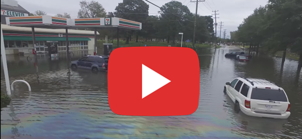
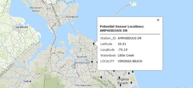
Crowdsourced mapping for flood tracking, prediction
In Norfolk, Va., researchers use drone video on YouTube, a mobile app and GIS software to analyze regional flooding.
- By Suzette Lohmeyer
Digital Government
Getting medical equipment to wounded warfighters
The Patient Movement Item Asset Tracking System leverages RFID tracking and an innovative enterprisewide asset management system to ensure the military has the medical equipment when and where it needs it to aid any wounded warfighter.
- By Suzette Lohmeyer
Digital Government
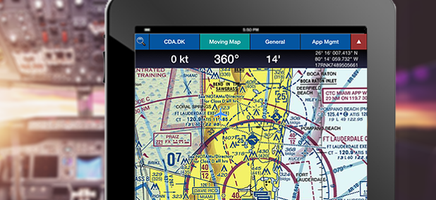
Flight data at your fingertips
The Aero app provides the more than 25,000 pilots who use it with cloud-based access to the latest maps and route plans.
- By Suzette Lohmeyer
Cybersecurity
How LA corralled its security data
Los Angeles’ Integrated Security Operations Center consolidates all departmental cybersecurity into one central system.
- By Suzette Lohmeyer
Infrastructure
Bringing big data to bear on infectious disease
With the Collaborative Advanced Analytics and Data Sharing toolkit, the Centers for Disease Control and Prevention made sense of an outbreak in days rather than months.
- By Suzette Lohmeyer
Cybersecurity
Two-factor authentication in two weeks
HHS' low-cost, open-source 2FA solution protects users who connect to GrantSolutions.gov -- and is poised to do even more.
- By Suzette Lohmeyer
Digital Government
Beacons improve personal navigation for travelers, disabled
Beacon technology gets location-specific information to people exactly when and where they need it.
- By Suzette Lohmeyer
Digital Government
How cities use data to plan bike routes
An increasing number of cities are using data from video cameras and crowdsourced apps to track and plan the best way for bicyclists to get around.
- By Suzette Lohmeyer
Management
Radiological data, real time
RadResponder is a cloud-based radiation data collection system that gives first responders standardized services for managing radiation data.
- By Suzette Lohmeyer
Management
Link rot: What happens when the internet isn’t forever
Disappearing links and deleted videos plague the legal system from cop to court and everywhere in between.
- By Suzette Lohmeyer
Digital Government
Faster and more accurate flood prediction
StormSense, a new flood forecasting project, will give emergency managers in coastal towns flood predictions so accurate that residents can be notified if they need to move their car one street over.
- By Suzette Lohmeyer
Digital Government
Not new, but different, data to improve health
The Hewlett Packard Real-Time Health System prototype incorporates big data not commonly found in the clinical space to augment health records managed by patients' care providers.
- By Suzette Lohmeyer
Management
The many benefits of DC's mobile-coverage map
What began as a project to improve service in city buildings has produced a surprising range of payoffs.
- By Suzette Lohmeyer
Digital Government
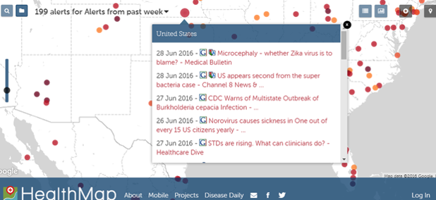
Disease detection platform maps Zika fast -- with surprising accuracy
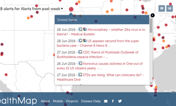
HealthMap automatically aggregates more than 200,000 data sources and uses natural language processing and proprietary algorithms to tag, filter, analyze, validate and map real-time surveillance of emerging public health threats.
- By Suzette Lohmeyer
Digital Government
Solving art history mysteries with open data
Making provenance data open and accessible gives more people information about a piece’s sometimes sordid history, including clues that might uncover evidence of Nazi confiscation.
- By Suzette Lohmeyer


