Elevation data helps prepare for natural disasters, climate change


Connecting state and local government leaders
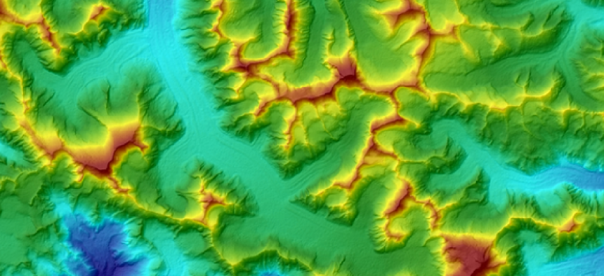
The elevation data will better enable scientists to monitor the impact of sea-level rise, conduct environmental monitoring activities and support local decision making.
President Obama has made climate change a key issue for his second term agenda. Not only is the president taking measures within the United States, but he has sought to engage other heads of state to address what he considers to be a critical threat.
Following a deal the president pursued with China, he has now set his sights on working with Indian Prime Minister Narendra Modi to promote clean energy.
As part of the initiative, the administration has released data on land elevations in India, which were created from space-borne radar as a way to supplement the satellite imagery. The data may help scientists better understand and monitor rising sea levels around the subcontinent. The U.S. Geological Survey also released the data on its Earth Explorer website.
The administration said the data will help nations better prepare for environmental disasters such as droughts, glacial retreats, flooding, landslides and coastal storm surges.
The data released by USGS from India includes an improvement in resolution from 90 meters to 30 meters. The difference will better enable scientists to monitor the impact of sea-level rise, conduct environmental monitoring activities and support local decision making.
The interagency effort to produce the elevation data also featured collaborations from NASA, the National Geospatial-Intelligence Agency, the Secure World Foundation, USGS and the National Oceanic and Atmospheric Administration.
The USGS has used LIDAR, or light detection and ranging, to map regions and measure elevations in Alaska. LIDAR works by emitting beams of light off of objects and measuring the distance and time it traveled. LIDAR is capable of producing three-dimensional maps that has been used by climate scientists, city planners and the armed forces to measure elevation changes.
In addition to LIDAR, IfSAR, or interferometric synthetic aperture radar, is used to penetrate through cloud cover, a limitation of LIDAR systems. However, IfSAR is less accurate than LIDAR measurements. Both cameras can be mounted on payload systems for manned or unmanned aircraft.
The current project uses radars and imaging equipment from the Shuttle Radar Topography Mission carried by the Endeavour space shuttle in 2000.
Based on the elevation images captured, scientists can determine “how and where water will flow, where there will be coasts, and what shape those coasts will take,” according to a White House release. “Land terrain, in part, also determines where plant and animal species live and thrive,” it said.
From the images captured in India, scientists and researchers were able to examine changes to the Gangotri Glacier, which is a major water source for the Ganges River, affecting the water for up to hundreds of millions of individuals.
NEXT STORY: Too much snow? Phone it in.


