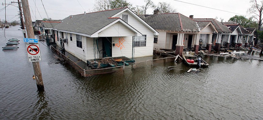
Statistical model predicts daily high tide flooding

Ethan Miller/Getty Images
The National Oceanic and Atmospheric Administration has a new model that can predict daily high tide flooding months in advance.
For coastal communities threatened by sea level rise, a new model may be able to more accurately predict high tide flooding events months or even a year in advance.
The National Oceanic and Atmospheric Administration’s statistical model will evaluate the daily likelihood of high tide flooding, the agency said in an announcement. The model aims to help coastal communities better prepare for and respond to floods, ultimately lessening the impacts of climate change. It is slated to launch by the end of 2023.
“Contrary to the substantial advances in the study of long-term sea level rise projections, there has been relatively little effort to provide coastal decision makers with guidance about seasonal-to-annual sea level changes,”researchers at NOAA and the University of Hawaii wrote in a Dec. 8 research paper.
NOAA already provides some resources for coastal communities to anticipate flooding events, but they fall short in crucial ways. For instance, the High Tide Flooding Annual Outlook uses historical data to predict a likely number of flood days for the next year, but it does not reveal when they will occur, researchers said. The Seasonal High Tide Bulletin offers insight into which days are most likely to experience flooding based on tidal prediction and historical seasonal sea levels, but it does not provide “robust probabilistic guidance or the spatial resolution necessary to make locally-informed decisions,” the researchers said.
The new model is based on tide predictions, trends in rising sea levels and seasonal changes in the coastal sea level measured by NOAA’s tide gauges at stations located across the country.
An assessment of 92 of NOAA’s tide gauges between 1997 and 2019 found that the model accurately predicted more than half of the floods at 18 gauges, and about 35% of floods were correctly predicted at 61 gauges. It was most successful where the tide accounts for most of the water level variance, and less accurate in the Gulf of Mexico and Chesapeake Bay where high water-levels are more often caused by weather than tides, the researchers said.
“With this update, each day in the calendar year will be assigned a likelihood of actual flooding to occur to better enable communities to make risk-informed management decisions, like whether to close roads, perform maintenance on storm drain systems, or prepare flood mitigation actions for vulnerable infrastructure,” NOAA officials said.
NOAA partnered with the National Centers for Environmental Information and the University of Hawaii’s Cooperative Institute for Marine and Atmospheric Research for this effort.
NEXT STORY: Want to land an innovation hub?


