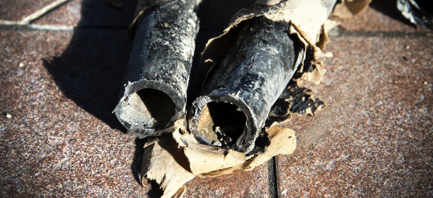
Machine Learning Maps Location of Lead Pipes

Gina Pricope/Getty Images
An open-source map will help communities find and remove pipes faster.
Water utility managers will soon have access to an interactive, open-source map that uses machine learning to predict the location of a community’s lead pipes.
The LeadOut map will show the location of lead service lines and the progress made to remove and replace them, said Eric Schwartz, a co-founder of BlueConduit, the water analytics company developing the map. It is slated to launch in early 2023, supplementing officials’ current efforts to find aging infrastructure.
If cities are “going to spend $8,000, $10,000, $12,000 to dig up a house on the street to replace lead, we want to make sure you can actually find lead there,” Schwartz said. “We’re enabling cities, utilities and contractors to … spend their money and their time getting the lead out” rather than manually looking for lead infrastructure all over the city.
The problem is that a history of inadequate records has blurred the pipelines' position. For instance, many documents fail to specify the pipe material used to connect a home’s interior plumbing to publicly owned water mains, or they do not contain full addresses where service lines are present. Other obstacles include the fact some records are not digitized or are not updated when improvements are made.
Since pipes often cross public and private property, “this made record keeping really messy, so lots of people weren’t writing it down,” Schwartz said.
The company’s machine learning algorithms consider current land records, water testing results that reveal the level of lead contamination at an address and data collected on real estate sites such as Zillow that identify a building’s age, size and zoning classification.
To standardize data from various sources, BlueConduit uses a data toolkit to match the names of fields, attributes and columns to a template provided by the Environmental Protection Agency, Schwartz said. The data onboarding tool is currently an internal service, but it will also be released for public use later this year.
The model can then gauge how much lead is present in an area, which is especially useful for areas that BlueConduit has not researched. “By using the attributes of these communities that have reported or we have worked with … compared to other water systems we have not yet observed, we can make estimates of how much lead [is] in the water system,” Schwartz said.
Sharing this data on a public map will enable officials to assess their lead pipe replacement efforts, compare how their communities are doing with others as well as submit their own data to BlueConduit to update the resource in a timely manner. BlueConduit’s work is built on the Amazon Web Services cloud and Esri’s ArcGIS platform, Schwartz said.
“The problem is we don’t know where the lead is, so we’re trying to have a shared resource where we can publicize that information and start to address it,” BlueConduit’s Chief Product Officer Dunrie Greiling said.
BlueConduit has provided more than 100 cities with machine learning-enabled lead pipe predictions since 2016, starting in Flint, Michigan. In 2020, Toledo, Ohio, partnered with the BlueConduit to address lead exposure within the city. The company’s predictions aimed to help officials prioritize remediation efforts such as targeted education, installing water filters or lead pipe replacement.
The company was recently named as a partner in the Biden-Harris administration’s Get the Lead Out program, which aims to replace the nation’s lead service lines by the end of the decade to protect the health and safety of residents, according to a White House fact sheet.


