City pilots sensors that track street activity, detect conflicts

Toby Mitchell/Getty Images
The devices will collect data on road users’ speed, turning movements and modes and paths of travel to inform safety initiatives and city planning.
The New York City Department of Transportation is deploying artificial intelligence-enabled sensors around the city to evaluate how vehicles, pedestrians and other motorists interact on the roads.
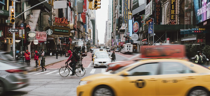
The pilot program will test a conflict detection tool that analyzes near misses between road users, an NYC DOT spokesperson said in an email. For example, the streetlight-mounted devices may flag when a car passes too close to a bicyclist or if a turning car interferes with a pedestrian in the crosswalk. This data will help transit officials assess the causes of conflicts and the safety of streets.
The sensors use cameras to take video, and machine learning counts and classifies the images of roadway users in real time. The video frames are discarded after traffic counts are collected on the network edge devices, officials said in an April 12 press release. Footage of severe conflicts is also blurred to protect individuals’ privacy, the spokesperson said.
The sensors will also collect anonymized data on modes of transportation such as cars, buses, trucks, bicycles, scooters, pedestrians and others and the paths they take. For instance, the devices will detect whether cyclists stay in the bike lane, the spokesperson said. Data is processed within the sensor and NYC DOT receives it in real-time, or officials can access data directly using an API.
“[The data] would provide an unprecedented amount of detail on the dynamic nature of pedestrian and car traffic,” said Claudio Silva, a professor of computer science and data science at New York University. Data insights could indicate to city managers where they need to expand the size of bike lanes or modify the way traffic lights operate to accommodate pedestrians.
“Let’s say a mother is pushing a stroller, and they cross the street slower than the [other] people. You could imagine the lights adapting to that and staying [red] longer,” he said. “The infrastructure can be made intelligent, and then it might actually be able to automatically help us decrease accidents and dangers.”
The data can also help policymakers stay informed on traffic flows and adapt to the needs of the community, Silva said. “People should be … adaptive to what is happening on the ground.”
Sensors have been placed on 12 poles in the boroughs of Brooklyn, Bronx, Manhattan and Queens with the potential to expand citywide to enable more accurate traffic models, officials said in the release. The network replaces the need for manual counts conducted by staff members who either stood on streets to count traffic or reviewed video footage taken during a specific timeframe.
“It is our mission to provide safe, efficient and environmentally responsible movement of people and goods in the City of New York,” the spokesperson said. “Data collected from the network of new street activity sensors will help us better understand how street activity varies throughout the year.”


