County’s advanced mapping tool supports development decisions

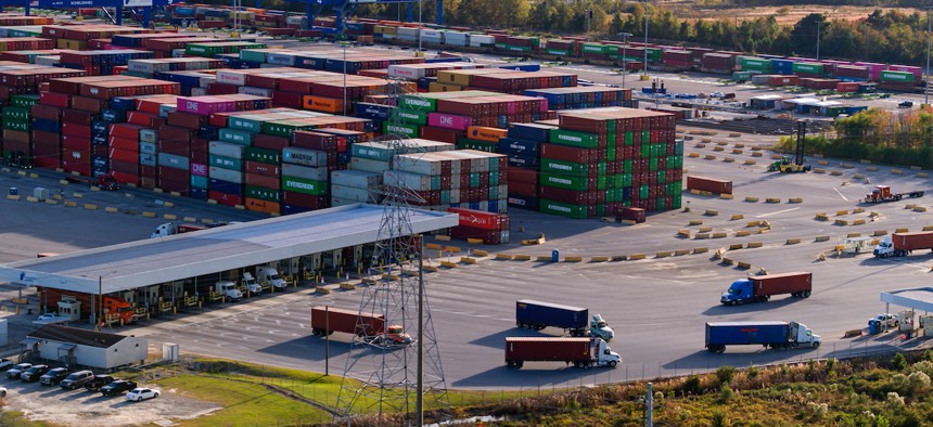
Aerial shot of the Port of Savannah in Georgia. halbergman/Getty Images
Henry County, Georgia, used it to decide where freight facilities should go. But the computer-based tool could be repurposed to help other communities address their hot-button issues.
Henry County, Georgia, is ideally located to help facilitate commerce and the movement of freight. It’s a 40-minute drive southeast of Atlanta on Interstate 75, and it’s on the way to the Port of Savannah. The county is prime territory for warehouses, distribution centers and other freight-related developments.
But there’s just one problem: truck traffic. Because of its central location, big rigs choke the interstate, highways and roadways in the county as they travel between the port, Atlanta and beyond. Unauthorized truck parking even clogs the shoulders of local roads and on- and off- ramps.
“All this truck traffic that comes with freight-related development generates a lot of strong sentiments among our citizens,” Sam Baker, Henry County’s transportation planning director, said during Route Fifty’s Future Cities event this week. “Freight-related development brings jobs and tax revenue, but it also brings a lot of truck traffic.”
Baker wants to get ahead of the conflict. Henry County expects its population to grow to 370,000 by 2050, and is the second fastest growing county in the Atlanta metropolitan region. He wants to ensure that any new developments to support the freight industry are properly located and less likely to negatively impact the community in terms of increasing traffic congestion and environmental degradation.
In a bid to better determine the best place to locate new freight-related developments, the county developed a tool that maps the most suitable locations based on five different factors: land-use suitability; transport accessibility; environmental sensitivity; social vulnerability; and community input. The map allows planners to move sliders next to each factor to emphasize or deemphasize them, and then updates itself to reflect the suitability of suggested locations.
Within each factor, a variety of criteria is weighed. Those criteria include, among others, existing warehouse and distribution center locations; the proximity to major freight corridors, to schools and other public facilities, and to vulnerable populations or residential neighborhoods; and vulnerability to noise and air pollution.
Henry County’s Smart Resilience Decision Support Tool is funded in part by a grant from the Georgia Smart Communities Challenge, which awarded the county $92,800 to develop it last year. In applying for the grant, the county argued the tool would give it flexibility in weighing different factors and would allow decision-makers to run advanced scenarios in an effort to balance “economic growth with environmental and social considerations,” according to the county.
Baker said county officials also heavily engaged with the public in developing the tool, in particular in determining which factors should be weighed.
Project leaders held community events with elected officials and other staff in which live polls were taken of what residents wanted to see incorporated. Separately, an online survey of residents was done. More than 500 responses were received, which allowed people to express their feelings on various types of development, not just freight-related developments.
Baker said the tool could be repurposed for other issues in other communities.
“For Henry County, freight-related development is the hot button issue,” he said. “It may be something else for other local governments, and this tool can be modified and developed for similar purposes in other local governments nationwide.”


